







NASA airplane in Colorado Springs mapping the West for critical mineral resources
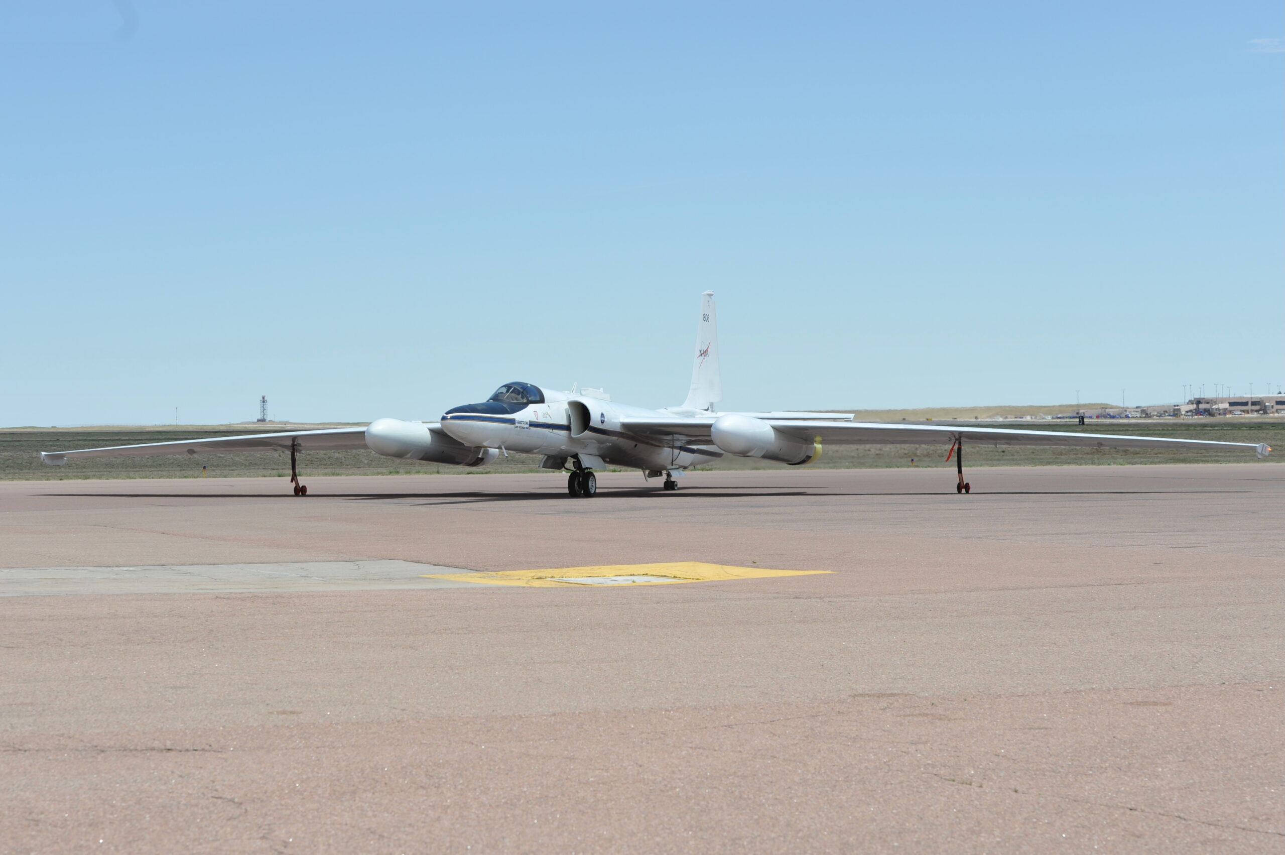
A NASA airplane designed around the U-2 spy plane of Cold War fame is calling Colorado Springs home, flying from the Colorado Springs Airport as the U.S. Geologic Survey and NASA partner to survey Western states for critical minerals.
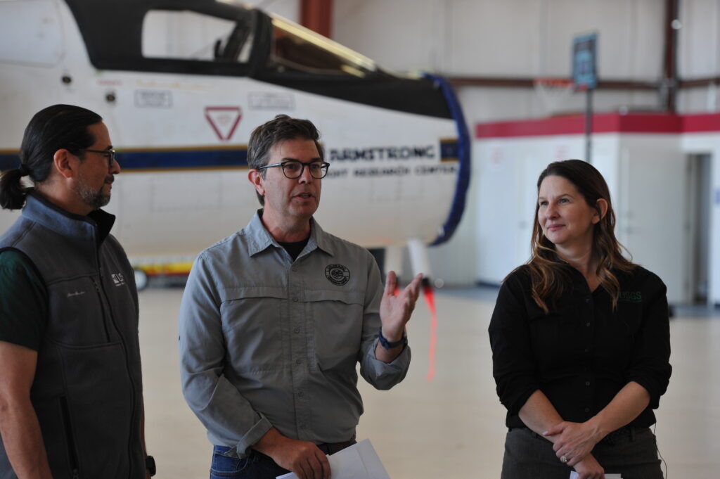
The airplane is part of the ongoing effort to find minerals like titanium, nickel and aluminum, critical to the nation’s commercial economy and its national security. Many modern jets, both commercial and military, require these materials, as do many of the electronics consumers and the government use and rely on every day.
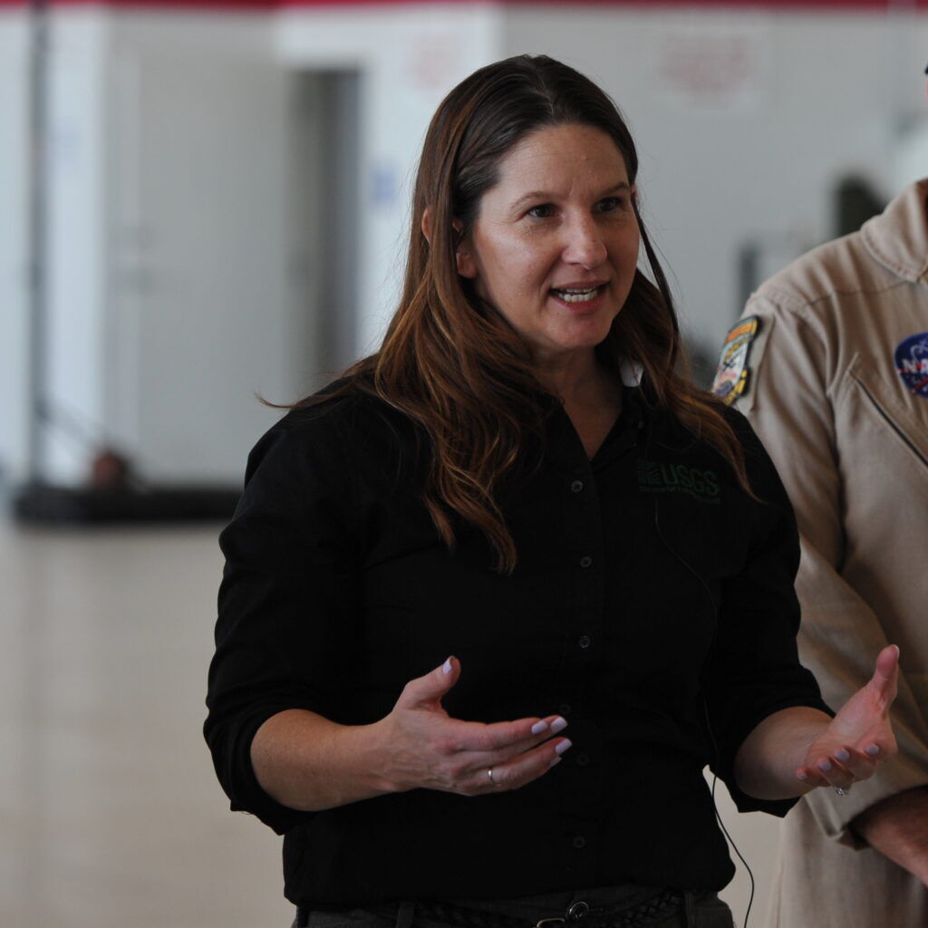
But it is not just technology that will benefit from the Earth Mapping Resource Initiative, or Earth MRI, said Deputy Director of USGS Teresa Kirschling.
“Industries that use minerals contribute about $4 trillion to our nation’s economy, so that is everything from contributing to the food we grow to our technology that we use on a daily basis to parts of this plane,” Kirschling said this week, motioning to the ER-2 behind her. “Earth MRI is really working to modernize our nation’s mapping for minerals.”
Knowing where minerals, water and geologic hazards exist may help prime the nation for a revitalized manufacturing economy, an ongoing effort of President Donald Trump. As part of this effort, the Trump administration is searching for ways to break the Chinese stranglehold on the global supply of critical minerals.
Industry insiders, analysts and lawmakers have warned for years that America’s dependence on China for critical minerals — a list of 50 minerals that includes 17 sought-after rare-earth elements — is a national security vulnerability, according to The Associated Press.
Last year, the nation imported 100% of the titanium and 67% of the rare earth elements it needed. Most of the rare earth minerals were imported from China, according to USGS.
To find these elements, NASA and USGS have equipped the ER-2, which has been based in Colorado Springs since April 1 and will keeping flying out of the Springs until next Wednesday, with an instrument that measures wavelengths of reflected light from the Earth’s surface. By analyzing what wavelengths are reflected back to the sensor, scientists can determine what kinds of rocks, minerals and materials there are 65,000 feet below.
“We’re going to use these data to target new areas that we’re going to do geologic mapping, not only for mineral resources but also for geologic hazards like landslides, debris flows, rockfall (and) also energy resources,” said Matt Morgan, director of the Colorado Geological Survey. “Earth MRI has really moved the needle for geologic mapping and mineral resource characterization across the United States.”
“These data are really being collected for future generations. … They’re going to use it in their mapping programs to really help characterize the mineral and energy resources,” he said.