


Two 3.0+ magnitude earthquakes occurred in Colorado in recent days
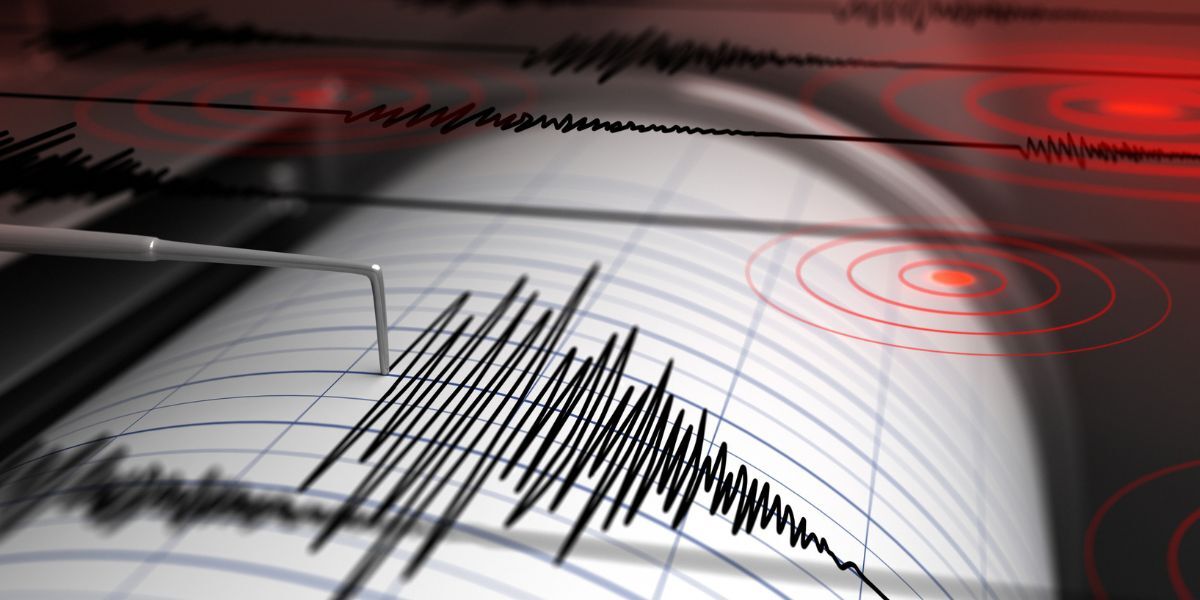
In recent days, it’s likely some Coloradans felt the ground shake beneath their feet (or bed). Per the USGS, two earthquakes with a magnitude of at least 3.0 have taken place locally this month, one on May 16 and the other on May 18.
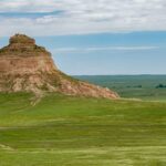
The first of the two took place about seven miles south-southeast of Stonewall Gap, Colorado, which is located just north of the state’s border with New Mexico in southern Colorado. This earthquake was 3.1 magnitude, occurring at roughly 7:04 p.m.
Two days later, a 3.0 magnitude earthquake took place two miles south-southwest of Walsenburg at about 6:30 a.m. on the morning of May 18. With this earthquake being closer to a population center, those who were awake at the time likely felt it. It’s also worth noting that this earthquake was preceded by another 2.3 magnitude earthquake around 11:46 p.m. the night prior, with this earthquake pinpointed at about four miles southwest of Walsenburg.
A magnitude of 3.0 is notable, as this is around the threshold for when people start to feel an earthquake. That said, damage doesn’t really occur at this magnitude and if it does, it’s minor.
A third, stronger, earthquake occurred right outside of Colorado earlier this month, as well, just south of Colorado’s stateline and in New Mexico. This earthquake had a 4.0 magnitude, taking place about 11 miles south-southwest of Weston, Colorado on May 7 around 11:44 a.m.
A total of seven earthquakes have been recorded in Colorado over the past 30 days, per the USGS, plus the one that took place just south of the stateline in New Mexico. All other earthquakes over the last 30 days had a magnitude of less than 3.0, with minor earthquakes of this nature pretty normal for the state.
According to EarthquakeTrack.com, the largest earthquake to take place in Colorado in recent decades was a 5.4 magnitude earthquake in the Garfield County town of Parachute in 1973. Another, more recent earthquake rivaled that power, measured at a magnitude of 5.3 in the area of southern Colorado’s Trinidad in 2011.
That being said, some sources point to Colorado’s most powerful recorded earthquake actually taking place in November of 1882, when a magnitude of 6.5 to 6.6 was reached. This occurred in the area of Fort Collins to Estes Park, also likely felt along much of the Front Range.
To help put those numbers into perspective, many of the world’s most powerful earthquakes have a magnitude above 8.0, sometimes even above 9.0. Per reporting from Michigan Tech, millions of earthquakes with a magnitude of 2.5 or less occur around the globe each year with about 500,000 in the magnitude range of 2.5 to 5.4 taking place. There’s a steep drop-off when it comes to anything stronger than that – about 350 with a magnitude between 5.5 to 6.0, about 100 with a magnitude between 6.1 to 6.9, about 10 to 15 with magnitude between 7.0 to 7.9, and one earthquake with a magnitude of 8.0 or greater every year or two.
The strongest earthquake to take place in the United States over the last 30 days was a 5.2 magnitude quake near Silver Springs, Nevada on May 1.
Explore more earthquake data from the USGS here.
STAY INFORMED: Get free Colorado news with our daily newsletter (Click here)
Get OutThere
Signup today for free and be the first to get notified on new updates.
PREV
PREVIOUS

Ash drops visibility in Colorado county as winds hit 28K-acre wildfire
A wildfire that started in the Oklahoma panhandle and crossed the border into southeast Colorado has reached more than 28,000 acres, per a report from WatchDuty. Dubbed the Sharpe Fire, the blaze started on May 15 and while rapid growth prompted mandatory evacuations for the Colorado town of Campo that have since been lifted, those […]
Colorado 'doesn't live up to movie hype' in real life, says Reddit – but there's a catch
A post that’s getting quite a bit of attention in the popular ‘AskReddit’ forum asks platform users “Which U.S. state gets glorified in movies but doesn’t live up to it IRL?,” with IRL meaning ‘in real life.’ Garnering more than 1,700 comments, one of the top contenders is sure to shock those in the Centennial […]