Happy Trails: Touring South Valley Park’s surprise beauty near Denver
South Valley Park doesn’t get the attention that North and South Table Mountains and Matthews/Winters Park get — top destinations in Jefferson County Parks and Open Space’s portfolio. A natural resources specialist with the department, Tanner Marshall, thinks that’s because South Valley’s trails aren’t as varied.
“Pretty flat, tame trails, nice for strolling around,” he says, not exactly appealing to mountain bikers and more ambitious hikers. “It doesn’t attract the same demographics as those other (parks) do.”
But those others don’t boast formations that resemble a mini Red Rocks Amphitheatre. At South Valley, the eye candy also includes the opposite, rugged side of the hogback seen from Colorado 470 and mountainous perspectives mostly only had by Ken-Caryl residents.
Indeed, the trails aren’t so varied, but the views are.
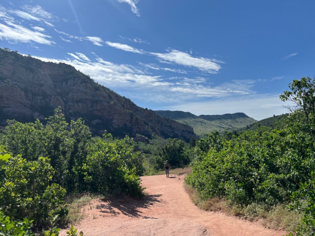
We started from South Valley’s north trailhead, bound for a figure-eight loop covering much of the park’s ground.
Coyote Song Trail is marked on the parking lot’s east side. The wide path runs through the valley of sandstone formations bordered by the similarly captivating hogback. The valley seems to spill with the sky ahead, while the foothills roll to the west.
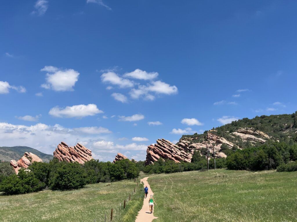
In about a mile, we veered right for the sign pointing to Prairie Falcon Trail. The trail soon reaches the road; Grazing Elk Trail is marked on the other side, named for another wild resident known here.
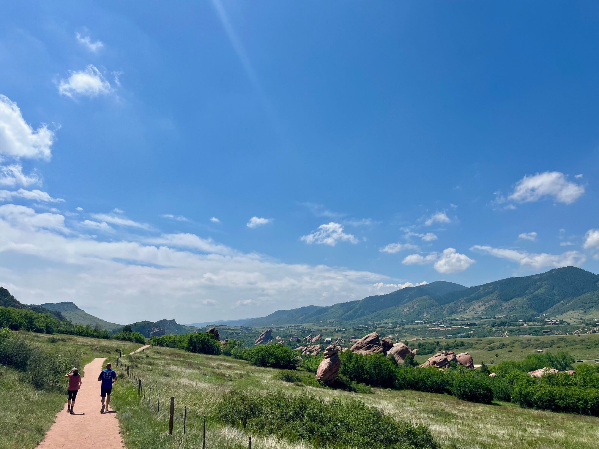
Grazing Elk Trail steadily climbs the hillside for an unobstructed overlook of South Valley’s geologic marvels. The singletrack provides a much different experience, looping through a huge meadow.
We started the loop by going left and in less than a mile reached a split for Rattlesnake Gulch Trail, which connects to Deer Creek Canyon Park. Grazing Elk Trail continues for another 1.6 miles beside the foothills before the red rocks return to view.
We proceeded back on Prairie Falcon Trail and took Swallow Trail back to the parking lot, visiting more formations for about another mile.
Trip log: 6.2 miles, 633 feet elevation
Getting there: South Valley Park’s north trailhead at 8354 South Valley Road. Off C-470, take exit 10 at Ken-Caryl and go west for South Valley Road. The parking lot is 1 ½ miles ahead.
If you go: Open one hour before sunrise and one hour after sunset. All of the route is multi-use except for hiking-only Swallow Trail. Dogs on leash. Trail map and more information at jeffco.us/1431/South-Valley-Park
SETH BOSTER, THE GAZETTE