







Storms and rain a ‘two-edged’ sword in the battle against Colorado wildfires
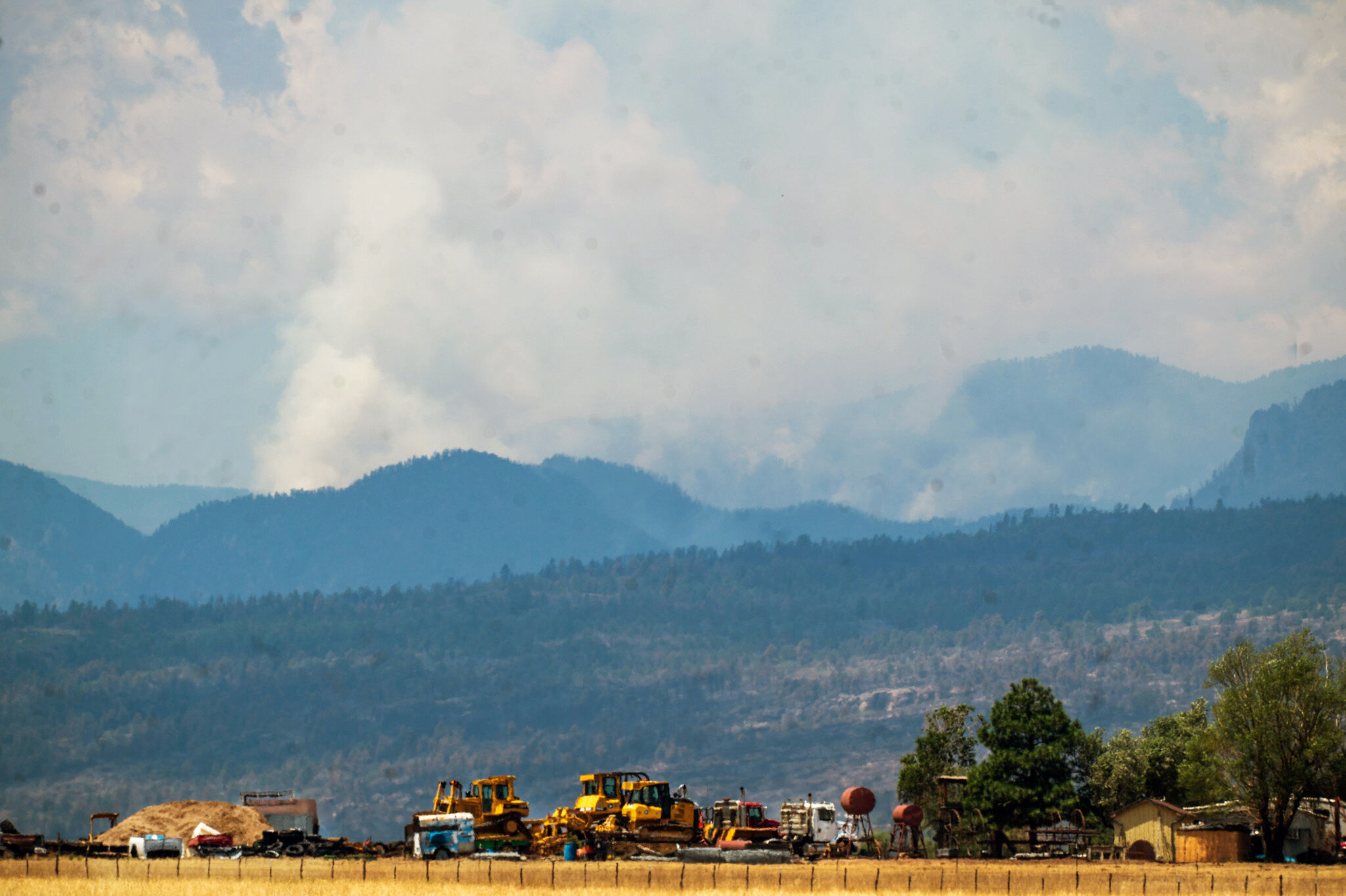
Storms brought a welcome reprieve of moisture Wednesday evening and overnight Thursday to the southern Front Range, including portions of the Aspen Acres burn scar — without the fallout authorities worried could compound the disaster-so-far as the wildfire continues to rage in Pueblo and Custer counties.
Fortunately, rain fell. In amounts and in places where it could potentially do more good than harm.
“If that heavier rain would have been farther west, they definitely could have seen more mud slides, ash slides and more flash flooding,” said Mark Wankowski, a meteorologist with the National Weather Service in Pueblo.
A handful of post-storm reports, of high water along Colorado 65 near the community of San Isabel and in areas north of Rye, didn’t rise to emergency levels, he said.
“Other than that,” he said, “we haven’t had reports of flooding.”
According to a social media post by the Incident Management Team for the Aspen Acres fire, the week had seen “measurable rainfall” across portions of the fire, which stood at 96,121 acres as of 8 a.m. Thursday.
Operations Section Chief Brad Washa did not share specifics about how the wet weather may have helped firefighters, and cautioned against assumptions.
“Any beneficial impacts are short lived,” read the post.
Weather is frequently the defining factor in how a fire is born, and almost always how it spreads and finally is extinguished.
Investigations into the cause of the Aspen Acres fire are ongoing, but “dry lightning” is thought to have sparked at least one of several recent small wildfires in the Cheyenne Mountain area southwest of Colorado Springs. Containment of the Rock Creek fire, a 1.5-acre wildfire reported early Wednesday morning — prompting pre-evacuation notices for those in a 1.5 mile radius of Rock Creek Canyon Road that, hours later, were lifted — was at 30% Thursday, according to the Colorado Springs Fire Department.
Weather conditions at the outset of the Aspen Acres fire quickly created a monster, Wankowski said.
“You saw what happened when the fire started. We had extremely dry conditions, strong winds, and they could not get a handle on the fire,” he said. “You cannot have fire safety, the safety of the individuals fighting the fire, when you have that type of wind. So weather is very crucial in firefighting.”
Rainstorms over a burn scar are a different kind of wildcard, and chemical nightmare.
Fire fundamentally changes the makeup of soil, turning it into something that’s almost like glass in its absorption capacity.
“Fire, especially where it burns the hottest … turns that soil into what we call hydrophobic. It’s not able to absorb water,” Wankowski said. “And if you have the heavy runoff you’ll start to see the ash flows and mud flows, just because the soil cannot absorb water.
“Wildfires change the landscape, and they also change the composition of the soil.”
That’s what happened in late summer 2013 after the Waldo Canyon fire: Flash flood waters choked with mud and debris were sent barreling down Highway 24 into Manitou Springs, totalling cars, destroying structures and claiming the life of 53-year-old John Collins.
A looming deluge may seem like the best of boons in an out-of-control wildfire season, but Wankowski said rain is nonetheless a “two-edged sword.” Especially when it’s delivered via the types of storms recently visited on south-central Colorado: ominous weather events with powerful winds that turn mid-day to dusk but go on to deliver zero, or very little, moisture.
“We get that a lot here in springtime, what’s called virga, and it can create dusty outflow winds,” Wankowski said, boiling down the highly complex atmospheric interaction to this: Rain released on high evaporates before reaching the ground, in turn seeding high winds below.
Such conditions, he said, contributed to explosions in the advance of the Aspen Acres fire, first reported June 29.
“That’s why it took a run towards Wetmore. We had dry thunderstorms, dry showers, that produced 30 to 40 mph winds that spread the fire,” Wankowski said.
The close of the week is expected to bring more wet conditions to an area that desperately needs it — as well as uncertainty about just how that precipitation may, or may not, play out.
And therein lies the rub.
“We’ve got two more days of decent rain chances. Storms will be slow moving, and if they do fall over the burn scar there will be chances for flash flooding,” Wankowski said. “And that’s why we do have a flash flood watch out.”
Colorado’s much-touted mega monsoon season hasn’t yet officially arrived, but it’s “trying,” he said.
It better hurry.
“Right now there’s enough low-level moisture to support heavy rain and that would help with fires, so we’ve got a couple days here of decent moisture chances,” Wankowski said. “Then it looks like, by the weekend and into next week, it’ll definitely be warmer and drier.”