







Colorado’s ‘best beach’ may not appear this year because of low snowpack
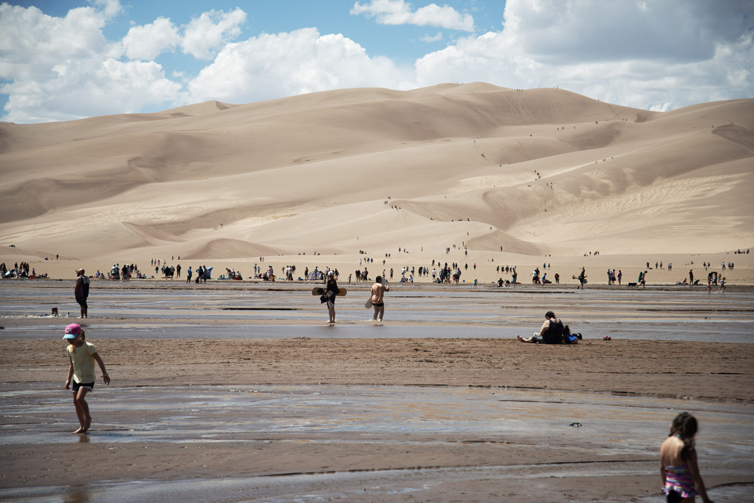
Medano Creek — a seasonal waterway that cuts directly next to Colorado’s Great Sand Dunes — may not have enough snow runoff to reach its usual location.
Visitors to Colorado’s Great Sand Dunes National Park this spring and early summer may miss out on a surreal seasonal attraction.
Due to a dry winter with below-average snowpack, Medano Creek likely will not reach the dunes parking lot, where thousands of visitors explore its sandy beaches every day during peak season.
The creek, formed annually with snow runoff from the Sangre de Cristo mountain range, reaches its peak flow around Memorial Day and is only a few feet deep at its lowest points. The cold waters carving through the park’s sandy, high-desert climate landed the scenic destination on Travel + Leisure’s Best U.S. Beaches a few years back.
While Colorado’s snowpack is at historic lows, Medano Creek is known to fluctuate significantly year over year. Scientists at the park expect this year’s flow to be modestly better than the 2017-2018 winter, when the creek did not reach the parking lot and measured a peak flow of 5 cubic feet per second (cfs).
“This summer, we expect it to be only slightly higher — likely under 10 cfs. At that level, the water may not reach the dunes parking lot. This could change if the mountains above the dunes get heavy, wet snow later in the spring,” a park scientist said via email to The Denver Gazette.
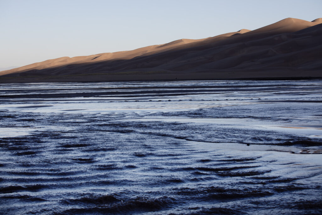
There have been roughly six years in the last 30 where the creek did not reach the parking lot, including 2002’s abysmal season, where the creek “retreated into the Sangre de Cristo Mountains,” the park scientist wrote.
While the park does not track specifically how many visitors come primarily for Medano Creek, it does track visitation and creek flow.
“If we overlay the two data sets, it does roughly correlate with high visitation during the period of time that the creek flows at its highest discharge rate.”
The dunes parking lot is the most accessible location, however hiking upstream and taking a four-wheel-drive vehicle to Castle Creek Picnic Area offer better options if the creek fails to reach its typical delta.