


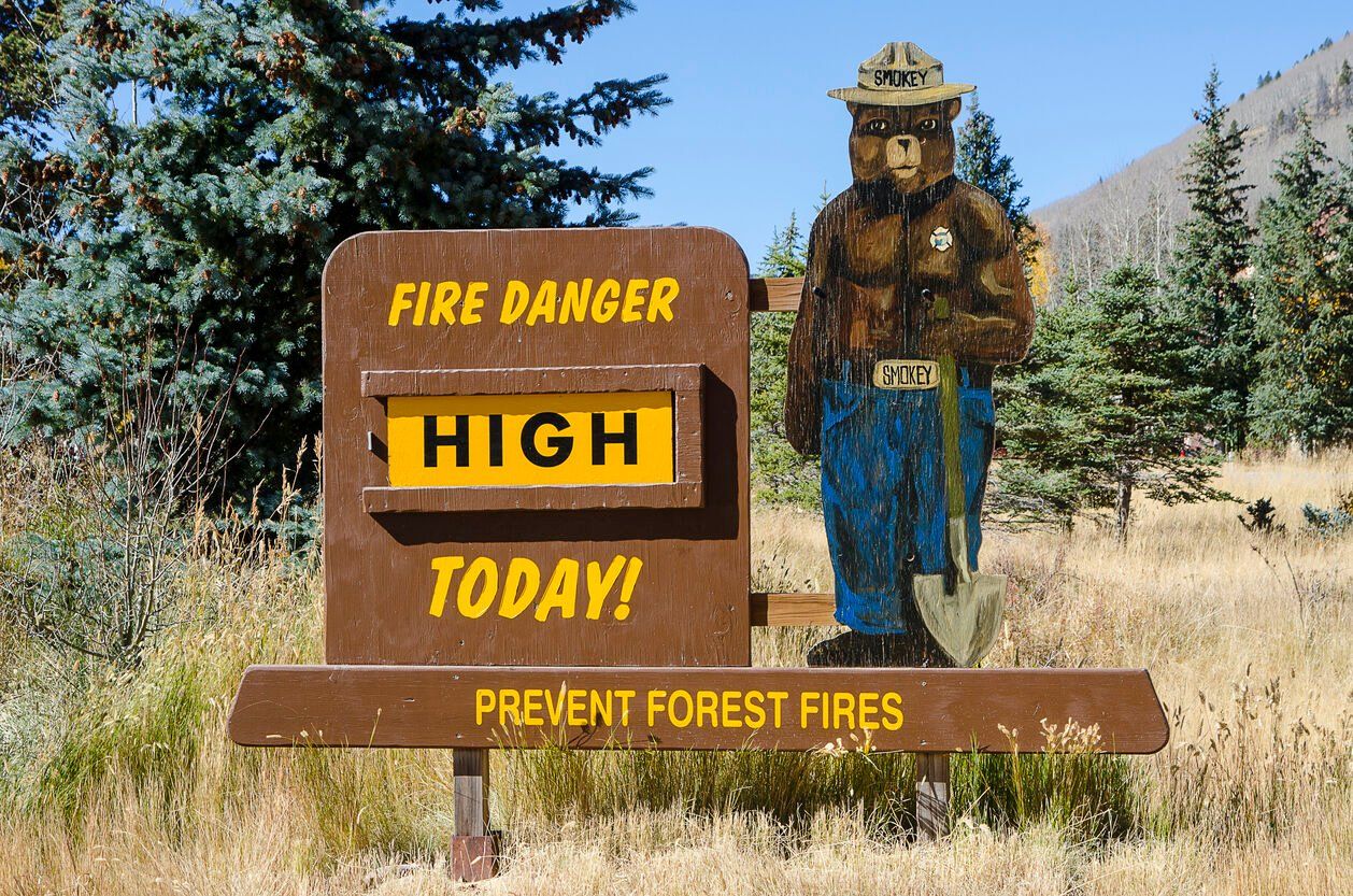
Fire danger risk returns this week across northeast Colorado
After a wave of winter snow late last week, the warm, dry and windy weather returns this week, bringing with it elevated fire danger risk, meteorologists said.
The National Weather Service in Boulder said the areas most at risk on Monday are near the Wyoming and Nebraska borders and across eastern Boulder and Larimer counties where conditions are favorable for fire spread. Conditions are considered “near critical” in these areas.
As the week continues, the fire danger is expected to increase, with critical conditions Wednesday across the northeast plains and extremely critical conditions Thursday and Friday as winds are expected to increase later in the week, the weather service said.
“Avoid any outdoor burning this week,” forecasters warned.
In Denver, meteorologists forecast a high of 73 degrees on Monday under sunny skies. That’s about 20 degrees warmer than the seasonal average high for March 9 in Denver, and only 4 degrees below the record high for this date, last set in 1989, according to weather service archive data.
The Denver area should expect some minor heat risk on Monday, meaning people who are extremely sensitive to heat could be impacted if they don’t have access to adequate cooling or hydration, the weather service said.
The winds in Denver are expected to gust to about 22 mph on Monday, forecasters said. That’s gusty, but does not quite reach the level that would lead meteorologists to classify Monday’s fire conditions as “critical.”
Tonight, expect temperatures in Denver to cool to 38 degrees.
Temperatures are forecast to climb into the low 70s Tuesday, Thursday and Friday. Wednesday is expected to be slightly cooler, with a high of about 55 degrees, forecasters said.