


12-24″ of snow inbound for Colorado as next storm starts within 24-hours
Whiteout snow report
More heavy snow is on tap for Colorado’s high country this week, and the first pour starts today, St. Patrick’s Day.
Powder days on Tuesday and Wednesday will be this week’s highlight, with more snow coming in for the weekend as well.
The last week of March should be rather tame, but one last lucky shot of powder is possible to close out the month.
Recap:
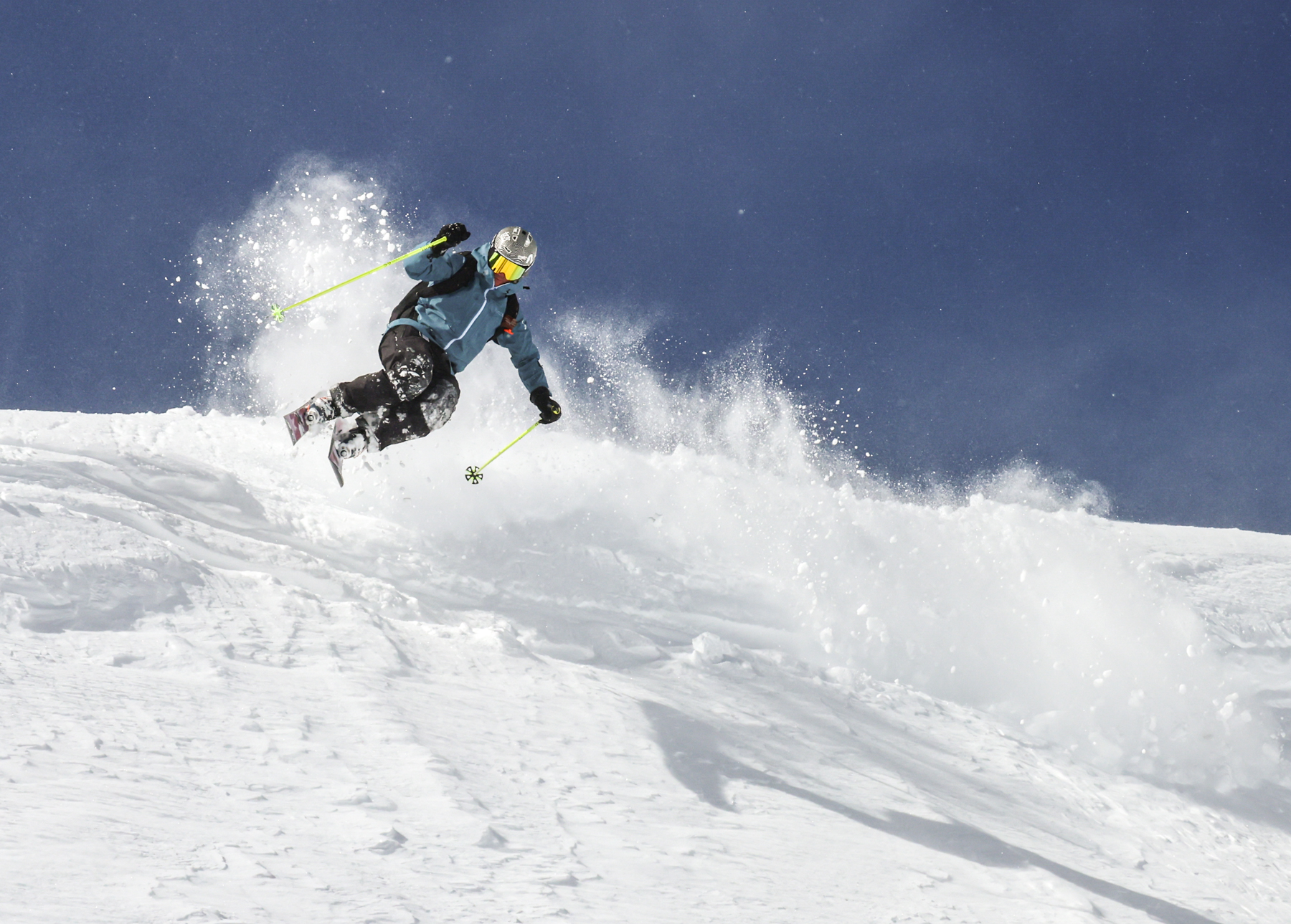
Saturday and Sunday’s snowfall accumulations made for some excellent skiing and riding across Colorado’s slopes. All three mountain zones faired well, with accumulations between 6-18 inches.
Forecast:
• On St. Patrick’s Day Monday, the sun will be shining and high temperatures around Colorado’s ski areas will generally be in the 30s, but with breezy and gusty conditions present, it’ll feel a lot colder than it looks, with potential wind chills in the single digits. Snow develops Monday night as the next storm marches in.
The northwestern (Steamboat/Howelsen) and central mountains (Aspen/Snowmass) could have between 1-3 inches of fresh snow for Tuesday’s first chairs, while the northern San Juans, and mountains further east could have between a trace-1 inch.

• On Tuesday, snow intensifies throughout the day across all three mountain zones. Snow will he heavy at times on west and west northwest winds, as a low pressure system is forecast to pass across the middle of the state.
• On Wednesday, sizeable amounts of snow will have fallen by first chairs, with between 5-18 inches in the northern mountains, between 4-14 inches in the central mountains and 8-24 inches in the southern mountains (the highest in the northern San Juans). Expect temperatures to be in the teens and low 20s as well due to cold air sinking southward from Canada.

Light snow will continue on Wednesday as the moisture-rich low pressure system pushes eastward into Kansas.
• On Thursday, skies mostly clear, but windy conditions return and highs only bounce about 10 degrees warmer into the upper 20s.
• On Friday, another storm enters the state on a similar trajectory as the previous storm. Snow develops in the early morning hours, will intensify throughout the morning and taper off into the late afternoon.
Snowfall accumulations are forecast to be between 6-12 inches in the northwestern (Steamboat) and northern San Juans (Telluride and Silverton), and between 4-8 inches everywhere else expect east of the Continental Divide.

Long-term forecast:
After Sunday, Colorado’s high country is forecasting toward quiet times until the end of week, even into the start of the weekend.
Another storm system is looking like it will enter Colorado on Sunday, March 30, setting up one last snow storm to close out the month. More details about this possible storm will become more clear as the dates near and further forecast model runs render.
Today’s 24-hour snow totals for Colorado ski resorts:
Arapahoe Basin – 0″
Aspen Highlands – 0″
Aspen Mountain – 0″
Beaver Creek – 0″
Breckenridge – 0″
Buttermilk – 0″
Cooper – 0″
Copper Mountain – 0″
Crested Butte – 0″
Echo Mountain – 0″
Eldora Mountain – 0″
Granby Ranch – 0″
Hesperus – Closed for the season
Howelsen Hill – 0″
Kendall Mountain – 0″
Keystone – 0″
Loveland – 0″
Monarch – 0″
Powderhorn – 0″
Purgatory – 0″
Silverton – 0″
Snowmass – 0″
Steamboat – 0″
Sunlight – 0″
Telluride – 0″
Vail – 0″
Winter Park – 0″
Wolf Creek – 0″