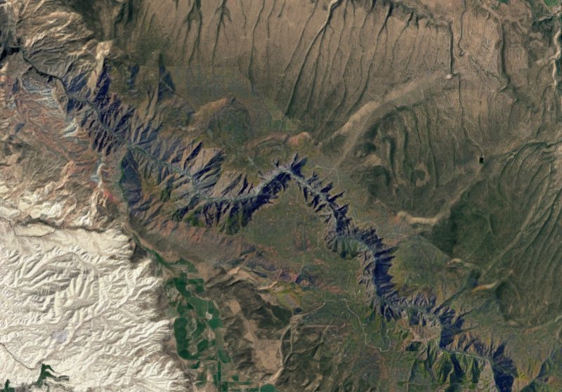
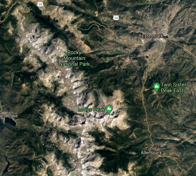
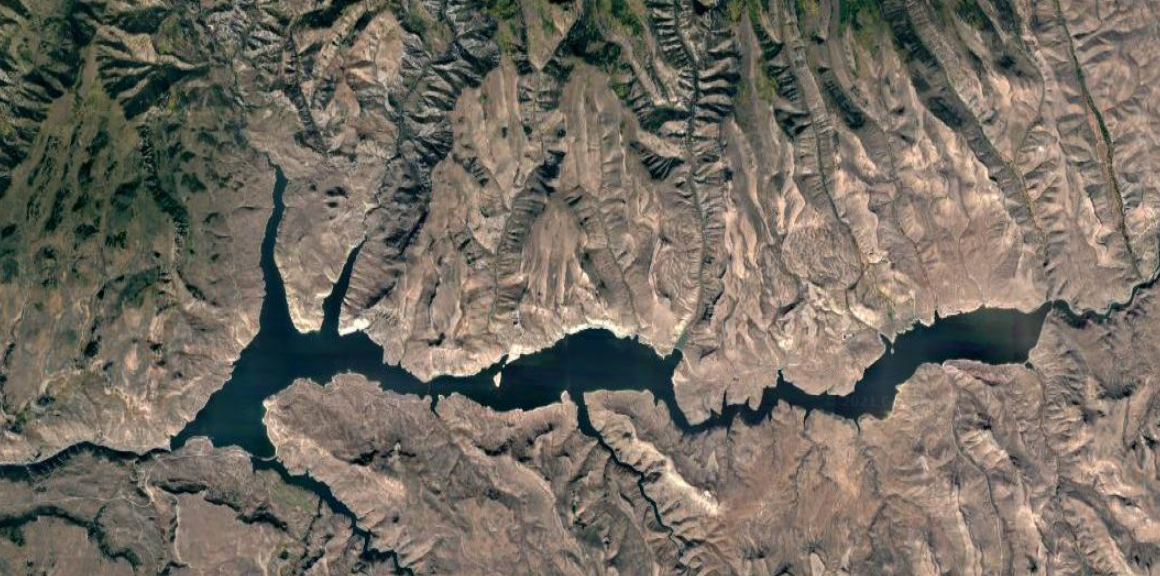
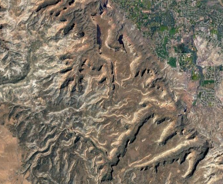
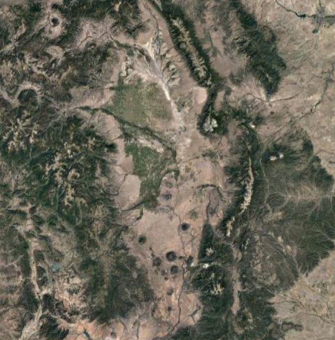
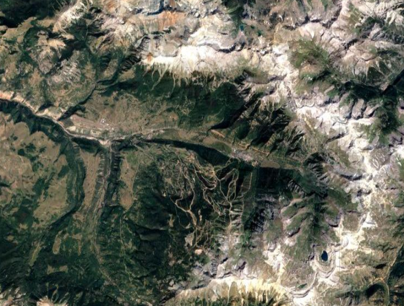
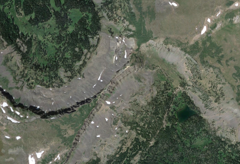
Here’s what 11 iconic Colorado spots look like from space

Colorado’s landscape is stunning from ground level, but it can be appreciated in an entirely different light from space. Here’s how several iconic Colorado spots look from thousands of feet above the surface.

1. The Garden of the GodsOne of Colorado's most iconic destinations isn't very remote at all. Find the Garden of the Gods between neighborhoods in Colorado Springs.Photo Credit: @2021 Google Maps
1. The Garden of the GodsOne of Colorado’s most iconic destinations isn’t very remote at all. Find the Garden of the Gods between neighborhoods in Colorado Springs.Photo Credit: @2021 Google Maps
2. Breckenridge, ColoradoOne of Colorado's most visited ski resorts, Breckenridge is known for its location along the Ten Mile Range.Photo Credit: @2021 Google Maps.
2. Breckenridge, ColoradoOne of Colorado’s most visited ski resorts, Breckenridge is known for its location along the Ten Mile Range.Photo Credit: @2021 Google Maps.
3. Red Rocks Park and AmphitheatreOne of the most famous North American music venues, Red Rocks Amphitheatre is a place where nature and music meet. It's known for the massive rock walls that surround the venue.Photo Credit: @2021 Google Maps.
3. Red Rocks Park and AmphitheatreOne of the most famous North American music venues, Red Rocks Amphitheatre is a place where nature and music meet. It’s known for the massive rock walls that surround the venue.Photo Credit: @2021 Google Maps.
4. The Great Sand DunesFound on the edge of the San Luis Valley, the Great Sand Dunes look surprisingly quaint from space. They can be seen in this image as the small circular spot near the middle of the frame, with agricultural efforts in the valley seen to their left and the Sangre de Cristo mountains rising on the right.Photo Credit: @2021 Google Maps
5. The Black Canyon of the GunnisonIt's well-known that the Black Canyon of the Gunnison is extremely narrow – some areas only see the sunlight for around 30 minutes a day. However, a view from space reveals just how narrow the canyon actually is. From this angle, it appears more like a river than a geographic feature with a 2,500-plus foot variance in elevation.Photo Credit: @2021 Google Maps.
5. The Black Canyon of the GunnisonIt’s well-known that the Black Canyon of the Gunnison is extremely narrow – some areas only see the sunlight for around 30 minutes a day. However, a view from space reveals just how narrow the canyon actually is. From this angle, it appears more like a river than a geographic feature with a 2,500-plus foot variance in elevation.Photo Credit: @2021 Google Maps.
6. Rocky Mountain National ParkFrom space, it's easy to see what makes Colorado's most popular national park a must-see destination – just look at all of those mountain peaks. The park is home to 77 peaks over 12,000 feet of elevation.Photo Credit: @2021 Google Maps.
6. Rocky Mountain National ParkFrom space, it’s easy to see what makes Colorado’s most popular national park a must-see destination – just look at all of those mountain peaks. The park is home to 77 peaks over 12,000 feet of elevation.Photo Credit: @2021 Google Maps.
7. Blue Mesa ReservoirThe largest lake located entirely in the state of Colorado, Blue Mesa Reservoir has a shore-length of 96 miles. Bridges hop over the water at multiple points, making this spot easily explore-able from ground-level.Photo Credit: @2021 Google Maps.
8. Colorado National MonumentA popular canyonlands area, Colorado National Monument is made up of many cliffs and valleys. It's easy to see why this area can be notoriously difficult to navigate when viewed from space.Photo Credit: @2021 Google Maps.
8. Colorado National MonumentA popular canyonlands area, Colorado National Monument is made up of many cliffs and valleys. It’s easy to see why this area can be notoriously difficult to navigate when viewed from space.Photo Credit: @2021 Google Maps.
9. The San Luis ValleyOften called the largest alpine valley in the world, the San Luis Valley spans a massive area in southern Colorado, even reaching into New Mexico. For scale, find the Sand Dunes from the previous image near the top of the valley in this picture.Photo Credit: @2021 Google Maps
10. Telluride, ColoradoCentrally located in this image, it's easy to see why the southwestern town of Telluride is known for wraparound mountain views. This satellite image shows how a range literally circles the resort and town streets.Photo Credit: @2021 Google Maps.
10. Telluride, ColoradoCentrally located in this image, it’s easy to see why the southwestern town of Telluride is known for wraparound mountain views. This satellite image shows how a range literally circles the resort and town streets.Photo Credit: @2021 Google Maps.
11. The Devil's CausewayFound in the Flat Tops Wilderness and a popular destination to hike to, the Devil's Causeway is notable for how narrow the route becomes, flanked by cliff drops. This image captures that from above, as the three-foot-wide section of the trail can be seen near center frame.Photo Credit: @2021 Google Maps.
11. The Devil’s CausewayFound in the Flat Tops Wilderness and a popular destination to hike to, the Devil’s Causeway is notable for how narrow the route becomes, flanked by cliff drops. This image captures that from above, as the three-foot-wide section of the trail can be seen near center frame.Photo Credit: @2021 Google Maps.

PREV

PREVIOUS

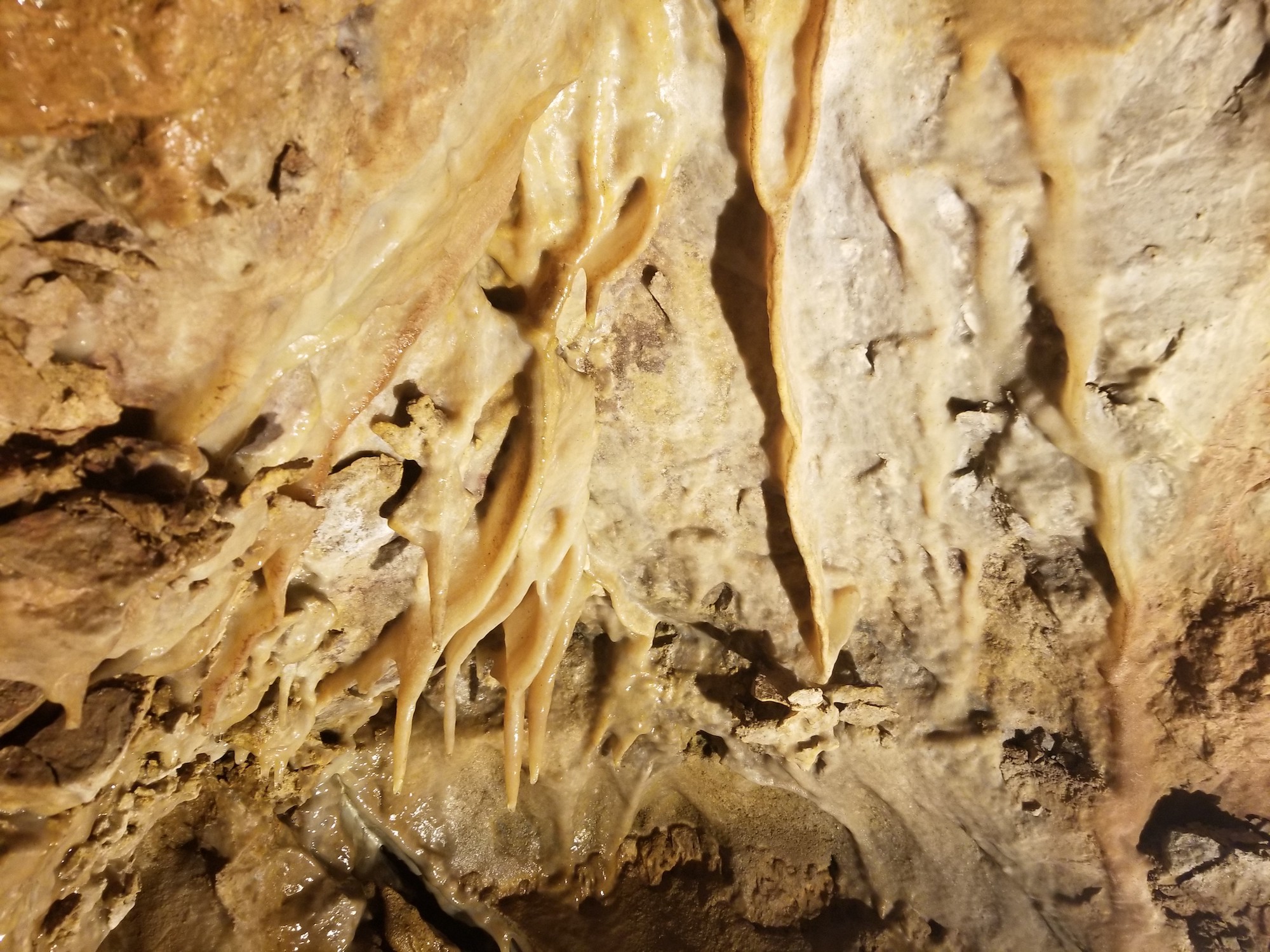
Mystical 'Fairy Caves' await in Colorado mountains

Western Colorado’s ‘Fairy Caves’ and the unique characteristics found within continue to intrigue visitors and researchers. Charles Darrow, modern discoverer of the caves in 1895, and his daughter first explored the area deep inside Glenwood Springs’ Iron Mountain. Researchers say Darrow’s young daughter dubbed the rock cavity “Fairy Caves” after seeing fairies dance along the […]

NEXT

NEXT UP

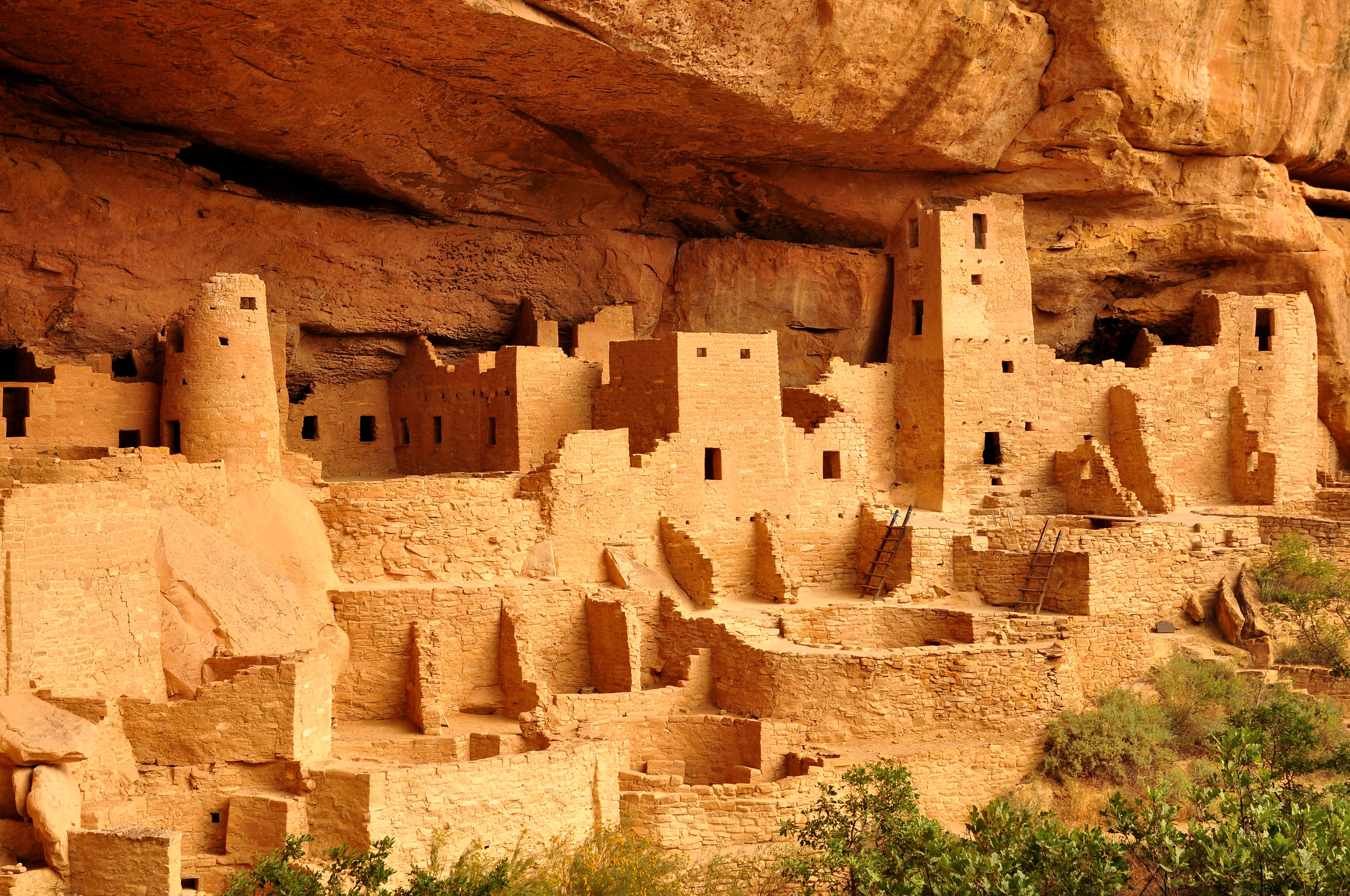
Explore cliff dwellings, petroglyphs, and more at southwestern Colorado destination

Mesa Verde National Park is an epic destination in Colorado that seems to be a bit underrated. Skip the crowds at this southwestern attraction. Author’s Note: In the winter and early spring seasons, Mesa Verde National Park is self-guided only and the cliff dwellings are closed. Check here for updates. Due to the COVID-19 pandemic, […]


Welcome Back.

Streak: 9 days i

Stories you've missed since your last login:

Stories you've saved for later:

Recommended stories based on your interests:

Edit my interests