


Up to 18 inches of snow set to hit Colorado mountains, big storms elsewhere
According to the National Weather Service, up to 18 inches of snow may land on some Colorado peaks between Wednesday morning and Friday morning. While the snow will be mostly restricted to the mountains, those in lower elevation areas should prepare to get plenty of precipitation.
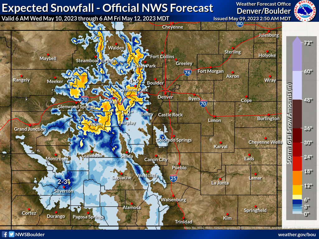
Snow forecast mapping from the National Weather Service shows the highest snowfall amounts are expected to land southwest of Vail, north of Glenwood Springs, northwest of Steamboat Springs, and in the Rocky Mountain National Park area. Deepest totals are expected in high elevation areas, with a pretty sharp drop-off in expected accumulation in lower mountain valleys.
See the National Weather Service forecasting map below:
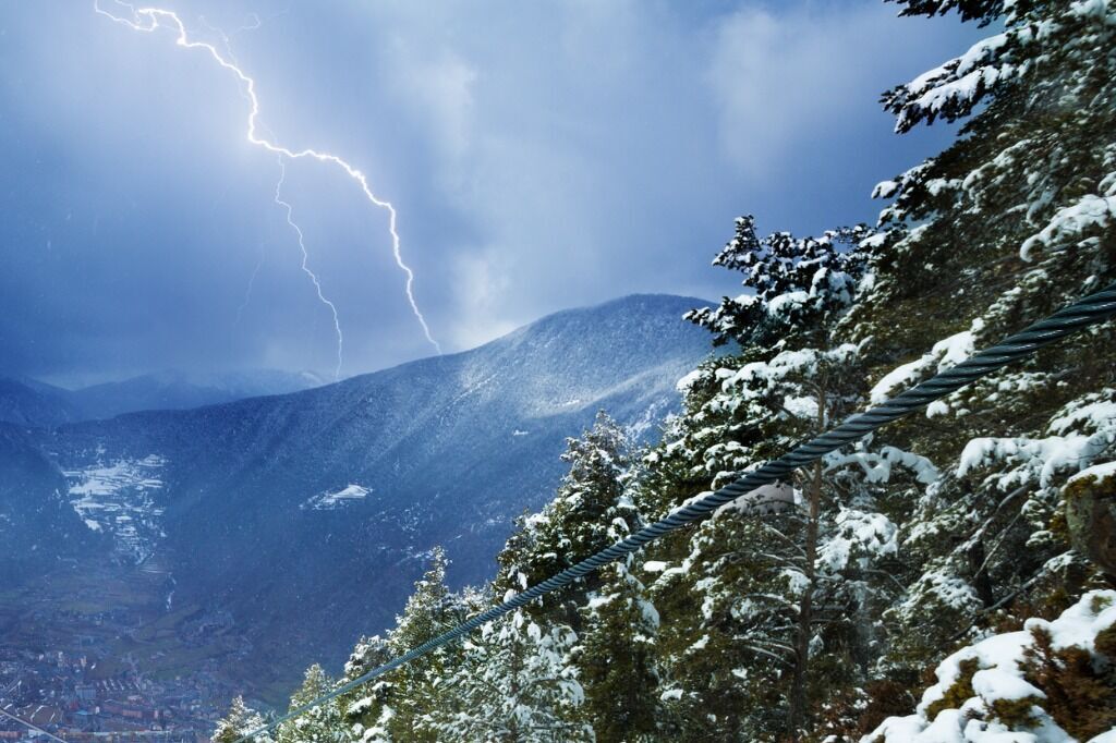
Elsewhere, much of the state is expected to experience thunderstorms, large hail, and the potential for tornados, with the Eastern Plains region especially at risk. Storms are expected to move into the I-25 corridor and the Eastern Plains this afternoon and evening, continuing on-and-off through the weekend.
There will be a tornado risk and the risk of large hail for some parts of the state, particularly the I-25 corridor and the Eastern Plains.
Find weather updates specific to your county here.
STAY INFORMED: Get free Colorado news with our daily newsletter (Click here)
Get OutThere
Signup today for free and be the first to get notified on new updates.
PREV
PREVIOUS
Dude ranch in Colorado featured in Food and Wine's 'Best Hotels for Food in the U.S.'
C Lazy U Ranch, a family-owned dude ranch in Granby, was recently recognized by Food and Wine magazine as one of the best hotels in the United States for food. C Lazy U is a luxury, all-inclusive ranch that offers its guests a number of traditional western activities like horseback riding, trap shooting, and cattle pushing […]

Avalanche's Gabe Landeskog to have another knee surgery, expected to miss 2023-24 season
Colorado Avalanche captain Gabe Landeskog is considering all options on his long road back from a knee cartilage injury — except for one. He’s not hanging up his skates for good. “I have not contemplated retirement at all, to be honest with you,” Landeskog said in a Tuesday teleconference call with Avalanche media. “It’s just […]