


Five days of snow possible in Colorado with ‘risk of heavy snow’ during 3-day stretch
Mapping that’s been published by the National Weather Service has shown that a storm that’s expected to hit Colorado in a few days has seen a bit of an uptick in length and severity.
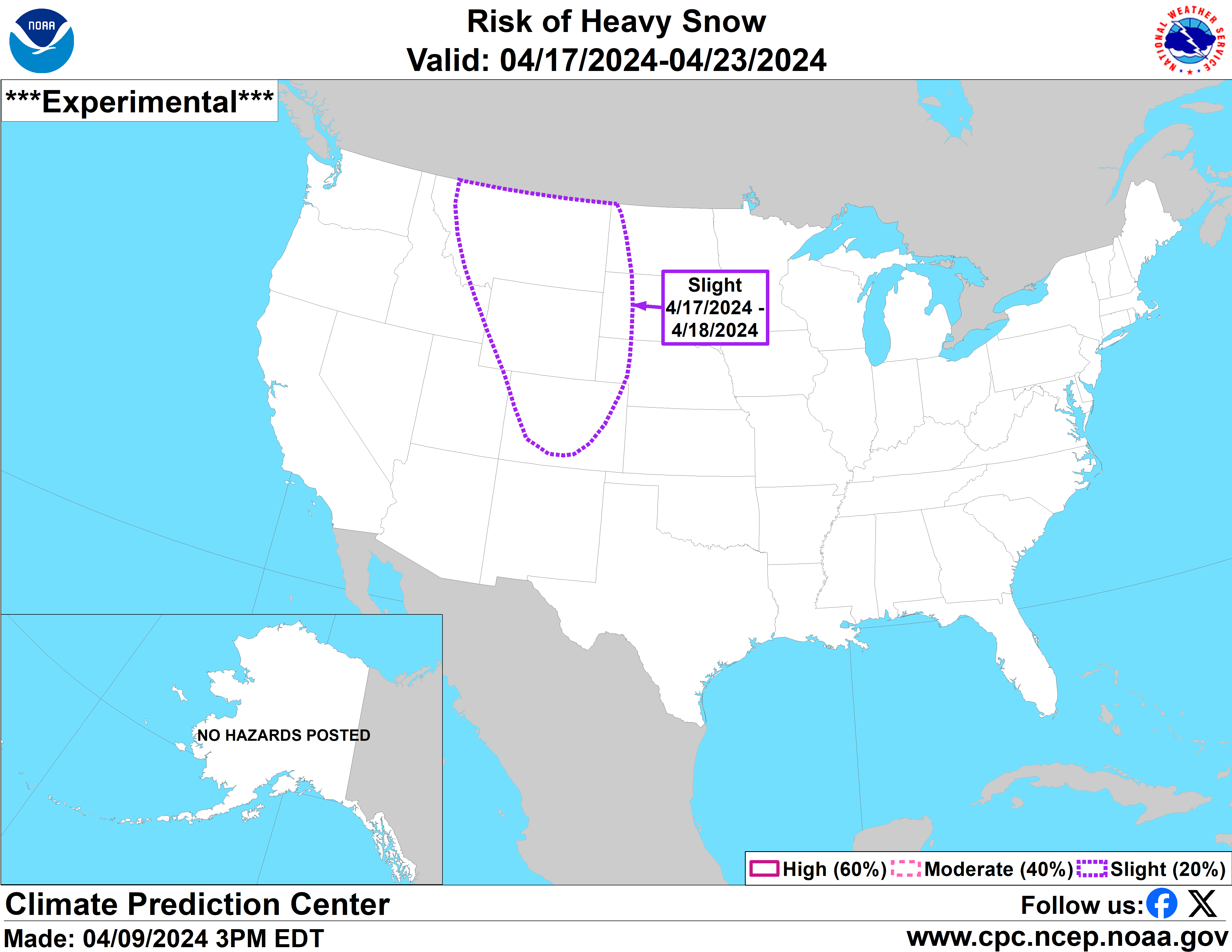
A first round of lighter snow is expected to move into the state from April 15 to April 16, intensifying from April 16 to April 18, with heavy snow potentially continuing on April 19. It’s also worth noting that temperatures are expected to be below-norm in much of the state during this period, which could mean that precipitation is more likely to be snow instead of rain in the state’s mountain region. The full ‘risk of heavy snow’ period that has been mapped by the service in recent days includes April 17 to 19, favoring the northern mountains, but spanning much of the state.
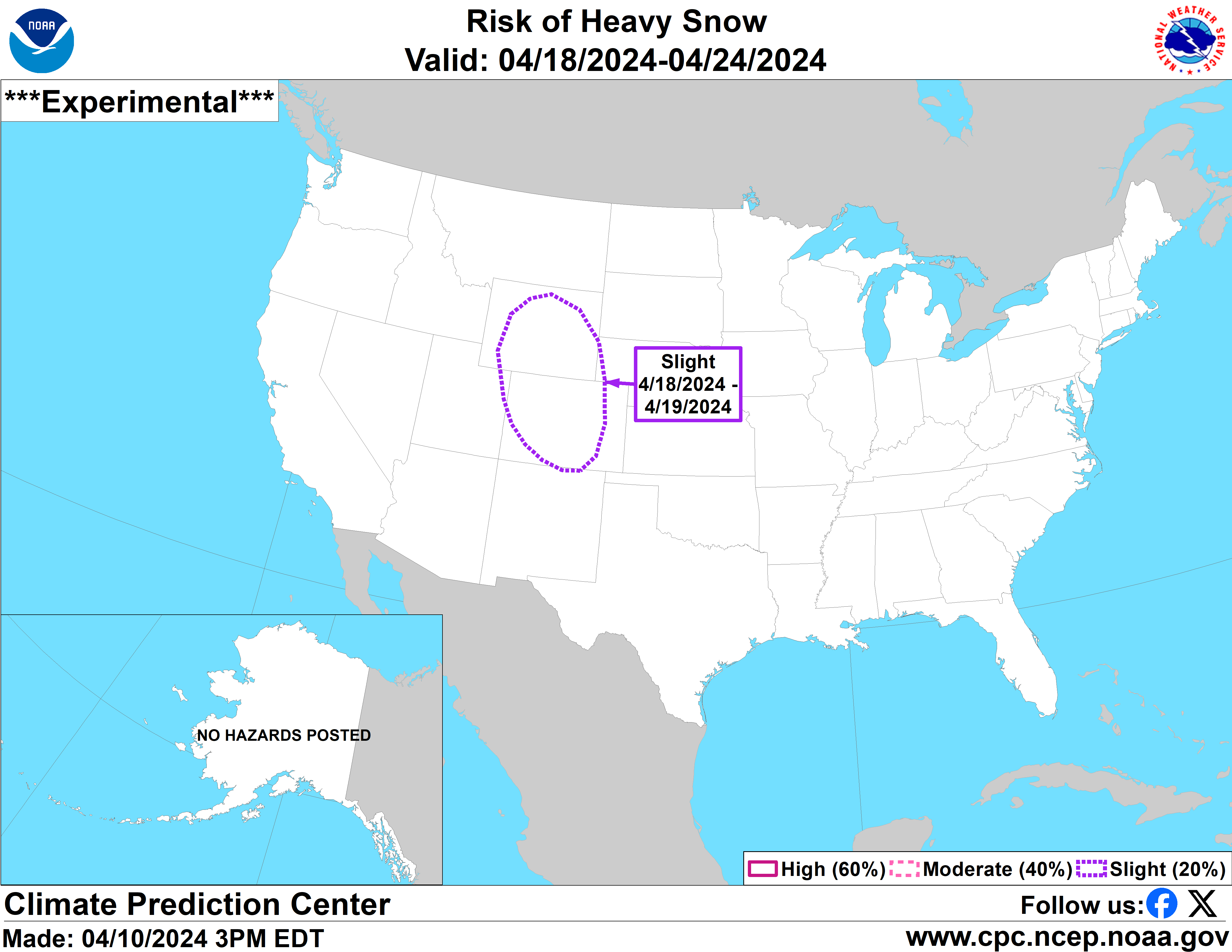
That said, warmer temperatures are still expected in the most populated parts of Colorado during this period – Colorado Springs will have highs in the 60s, for example. Most Coloradans shouldn’t expect travel concerns related to snowfall, though those in the mountain region and those traveling higher elevation passes could encounter some winter weather-related hazards.
This storm is still days away, so a lot can change in the meantime. Follow along with National Weather Service forecasting online for updates on this weather.
Get OutThere
Signup today for free and be the first to get notified on new updates.
PREV
PREVIOUS
More than 31 feet of snow fell at Colorado's 'snowiest resort' this season
As ski resorts around the state are starting to turn lifts off for the season en masse, most powderhounds seem to be relatively pleased with the turnaround that late winter and early spring brought for snowpack during what had been shaping up to be a below-average snowpack year. Colorado didn’t really get close to the […]
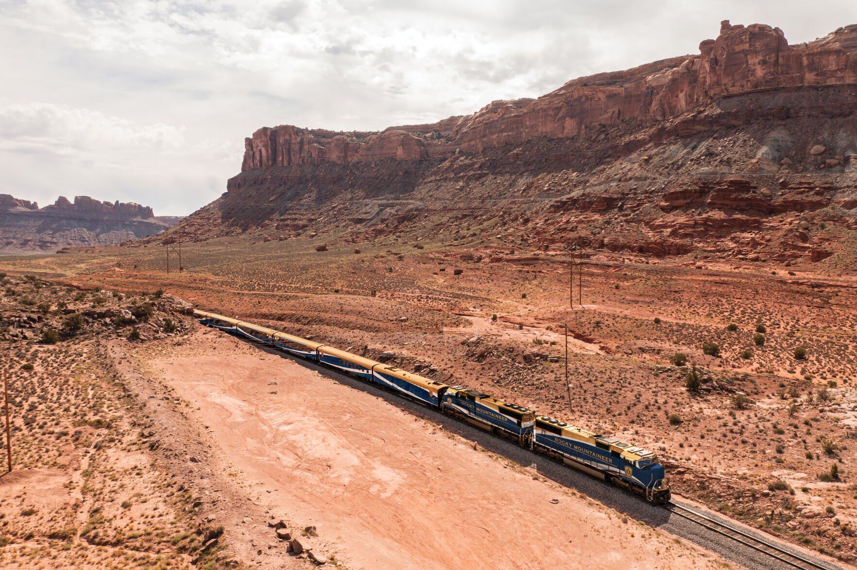
9-day train experience travels from Denver to Moab music fest and back
Mile High City lovers of good music and scenic views are sure to be interested in a travel package being offered by luxury railroad company Rocky Mountaineer this September. The package includes round-trip travel from Denver to Moab (and back) from September 3 to September 11, with a four-night stay in Moab during the Moab […]