


Damaging hail, 70 mph wind, and isolated tornado possible in Colorado on Friday
UPDATED graphics with hazard risks and areas for the severe threat today. BOTTOM LINE – remain alert and have a way to receive weather warnings today! #cowx pic.twitter.com/mE7CiOkoqL — NWS Boulder (@NWSBoulder) June 26, 2020
Get OutThere
Signup today for free and be the first to get notified on new updates.
Damaging hail, 70 mph wind, and isolated tornado possible in Colorado on Friday
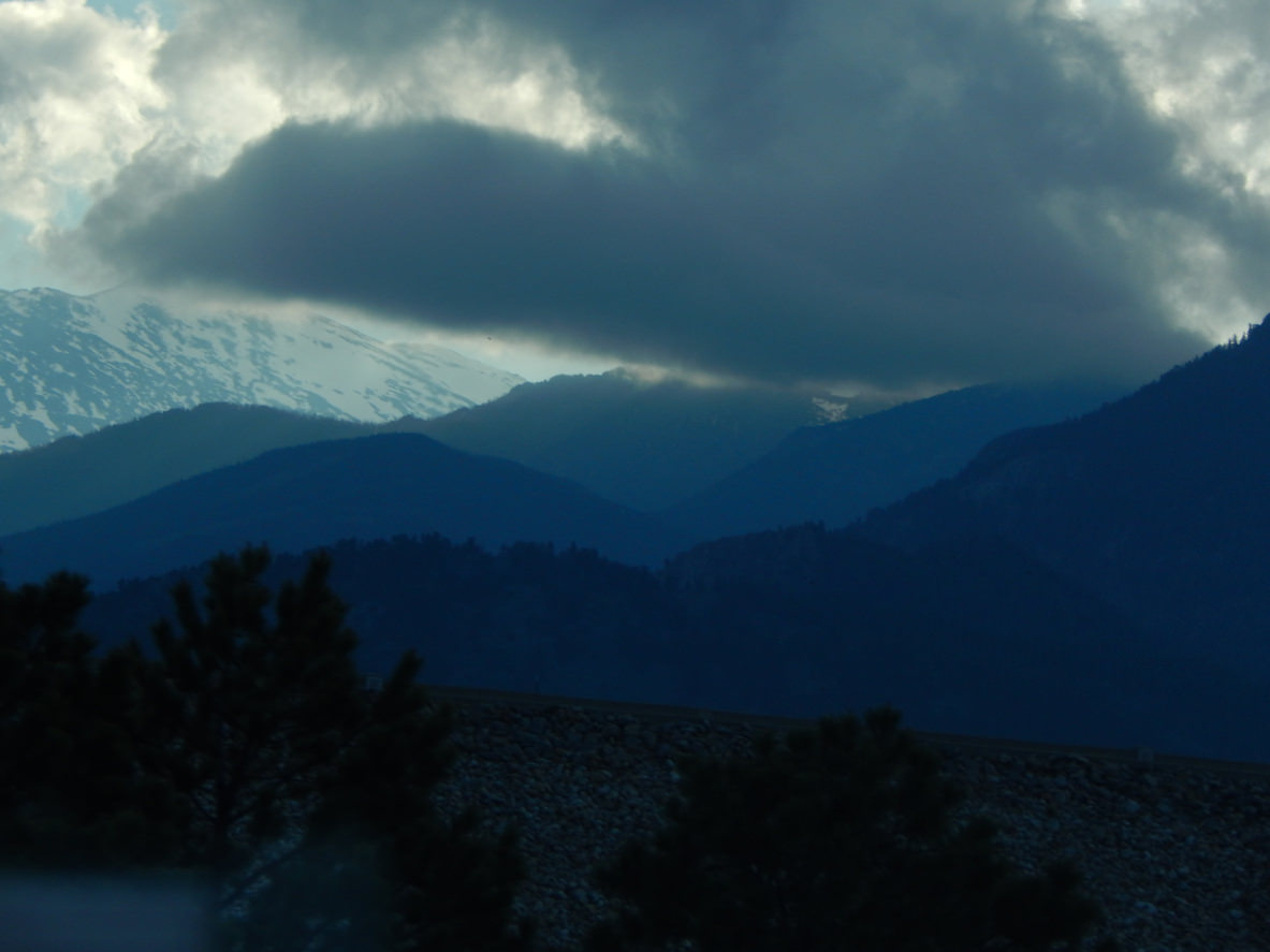
Coloradans are being warned to brace for another dose of wild weather bringing large hail, damaging winds, heavy rain, and the potential for an isolated tornado to parts of the state on Friday.
Ping pong ball-sized hail, damaging wind gusts up to 70 mph, and isolated tornadoes will be “possible” across southeastern parts of the state Friday afternoon and evening. Heavy rainfall could also result in localized flash flooding.
Severe weather is expected to move through the mountains and urban corridor from 1:00 p.m. to 6:00 p.m, and the eastern plains from 4:00 p.m. to 11:00 p.m.
Locations along and east of I-25 south of Denver may also be hit by quarter to golf-ball-sized hail, 70 mph wind gusts, and heavy rainfall, as well as Fort Morgan and Akron. There’s also the potential for “a weak tornado or two,” according to the National Weather Service.
Counties impacted by the storms include Lake, Chaffee, Saguache, Teller, Fremont, El Paso, Otero, Kiowa, Bent, Las Animas, La Junta, Crowley, Prowers, Baca, Jackson, Grand, Summit, Boulder, Jefferson, Douglas, Park, Larimer, Broomfield, Weld, Arapahoe, Elbert, Lincoln, Phillips, Washington, and Logan.
High country impacts can also be expected for the following areas: the Mosquito Range, Sawatch Mountains, Continental Divide, La Garita Mountains, Upper Rio Grande Valley, San Juan Mountains, San Luis Valley, Wet Mountains, Pikes Peak, Huerfano River Basin, Elkhead and Park Mountains, Grand and Battlement Mesas, and Central Gunnison and Uncompahgre River Basin.
High country travelers should also keep an eyeful watch for wild weather in the mountains this weekend. Strong to severe storms are expected to develop over higher terrain on Saturday with the primary threats of lightning, 60 mph wind gusts, and quarter-sized hail.
Warm temperatures, low relative humidity, gusty winds, and isolated dry lightning likely over the San Luis Valley Saturday afternoon will bring the return of critical fire weather conditions at times.
Editor’s Note: All weather statements are subject to change. Check the weather forecast before heading into the mountains, severe storms are possible most of the time. Hail this size can cause serious vehicle and property damage. It can also cause injury to those caught outside. Take all warnings seriously and be prepared to take shelter if necessary.
Get OutThere
Signup today for free and be the first to get notified on new updates.
Damaging hail, 70 mph wind, and isolated tornado possible in Colorado on Friday
Severe storms will be possible across southeast Colorado this afternoon and evening. If you do encounter severe weather and can safely do so, report it to us or your local law enforcement. #cowx pic.twitter.com/BliiZyN22T — NWS Pueblo (@NWSPueblo) June 26, 2020
Get OutThere
Signup today for free and be the first to get notified on new updates.
PREV
PREVIOUS
Damaging hail, 70 mph wind, and isolated tornado possible in Colorado on Friday
Coloradans are being warned to brace for another dose of wild weather bringing large hail, damaging winds, heavy rain, and the potential for an isolated tornado to parts of the state on Friday. Ping pong ball-sized hail, damaging wind gusts up to 70 mph, and isolated tornadoes will be “possible” across southeastern parts of the […]

TRAIL MIX | Ads draw flak when attacks double back
Last week, as Colorado voters were busy returning ballots for the June primary, Gov. Jared Polis let it be known that he wasn’t happy with a TV ad released by a Democratic candidate for the U.S. Senate seat held by Republican Cory Gardner. The 30-second ad from Andrew Romanoff’s campaign featured footage from a decade-old […]