


14 more inches of snow possible in Colorado just hours after major blizzard hits
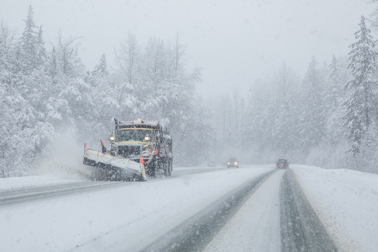
Expected to start on Tuesday mid-day, another wave of snow is likely to move through a widespread area of Colorado, dropping more than a foot of accumulation in the heaviest hit spots.
The National Weather Service has issued a ‘winter storm watch,’ set to be activated from Tuesday afternoon through Wednesday morning in the area of the Sangre de Cristo and Wet Mountains. During this time, heavy snow is possible, with total accumulations expected to land between eight and 14 inches. High wind speeds of 35 miles per hour could also be present, severely limiting visibility and contributing to the formation of large snow drifts. Travel in the region is expected to be difficult with 13 inches of snow expected on La Veta Pass.
Elsewhere in the state, widespread precipitation is expected, though in lower totals. In addition to the Sangre de Cristos and Wet Mountains, forecasting maps are also showing totals of around six to eight inches on peaks west of Leadville. Southwestern Colorado is also likely to see significant snowfall in some areas, with six inches expected in the area of Wolf Creek Pass. Elsewhere, snow totals are expected to be lower and also pending cold enough temperatures.
NEWSLETTER: Sign-up for daily headlines from OutThere Colorado here
The most recent Colorado Daily Snow report from OpenSnow.com also forecasts incoming snow. Forecasters at this organization expect between two to five inches on the northern and central mountains and four to ten inches on the southern mountains between Tuesday and Wednesday.
This follows a major snowstorm that moved through Colorado over the weekend, dropping more than two feet of snow in parts of the Denver area and more than three feet in other parts of the state. Impacts from that blizzard were widespread, bringing operations to a halt at Denver International Airport, closing all roads in Elbert County, and causing widespread power outages that left more than 32,000 without power.
NEWSLETTER: Sign-up for daily headlines from OutThere Colorado here
Get OutThere
Signup today for free and be the first to get notified on new updates.
PREV
PREVIOUS

INSIGHTS | Vaccine rollout is the latest, greatest Colorado flop
I do my best to report stories through the eyes of others. Sometimes, when I’m lucky, I get to see them with my own. I suppose it’s not news at this point that the COVID-19 vaccine rollout has been a confusing, chaotic work in progress. The one unbendable fact is that federal, state and county […]
Map of incoming storm [Click to see if embed not showing on device]
The next system to impact the area is expected Tuesday thru Wednesday morning. The heaviest snow will be centered over the Sangre de Cristo and Wet Mountains, as well as areas near the Raton Mesa and the southern I-25 corridor. #cowx pic.twitter.com/ecbvF9aM7p — NWS Pueblo (@NWSPueblo) March 15, 2021