


Map of incoming storm [Click to see if embed not showing on device]
The next system to impact the area is expected Tuesday thru Wednesday morning. The heaviest snow will be centered over the Sangre de Cristo and Wet Mountains, as well as areas near the Raton Mesa and the southern I-25 corridor. #cowx pic.twitter.com/ecbvF9aM7p
— NWS Pueblo (@NWSPueblo) March 15, 2021
Get OutThere
Signup today for free and be the first to get notified on new updates.
PREV
PREVIOUS
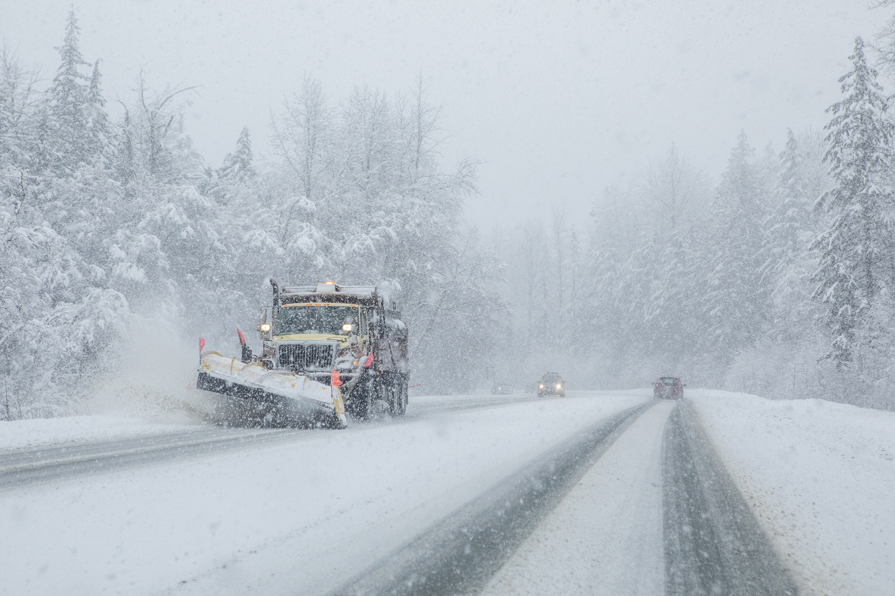
14 more inches of snow possible in Colorado just hours after major blizzard hits
Expected to start on Tuesday mid-day, another wave of snow is likely to move through a widespread area of Colorado, dropping more than a foot of accumulation in the heaviest hit spots. The National Weather Service has issued a ‘winter storm watch,’ set to be activated from Tuesday afternoon through Wednesday morning in the area of […]
Terrain parks closed [Click to see if embed not showing on your device]
Mountain Update: All Terrain Parks will be CLOSED for the day! — Telluride Ski Resort (@Telluride) March 15, 2021