


Denver metro could turn into a winter wonderland on New Years Eve

Ready or not, here it comes.
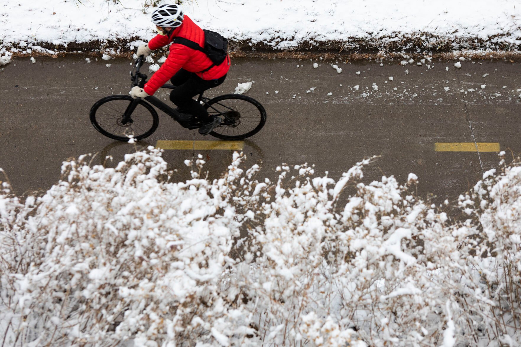
Winter will start to look like winter on New Years Eve with the arrival of the first significant snowstorm of the season, featuring lower than normal temperatures, according to the National Weather Service in Boulder.
By the time the storm draws to a close early Saturday morning, the metro could be covered in 4 to 6 inches of snow, while the foothills could receive anywhere between 6 and 8 inches.
So far this season, Denver has only reported 0.3 inches of snow, which fell on Nov. 21 and toppled an 87-year-old record for latest measurable snow. The amount of snowfall is remarkably lower than the 11.4 inches generally recorded by Dec. 29, said Treste Huse, a hydrologist from the National Weather Service in Boulder.
In Colorado’s high country, areas like Breckenridge and Vail could receive anywhere between 12 and 18 inches of snow with storms beginning Thursday, while the plains are expected to receive a light dusting, Huse said.
Because of the impending storm, the weather service has issued a Winter Storm Warning for the the northern and north central mountain regions and go into effect at 5 a.m. Thursday.
Additionally, a High Wind Warning will go into effect at 5 a.m. Thursday for the northern mountains and foothills.
Huse said snow in Denver isn’t expected to begin until late Friday morning and will continue into the early hours the following day.
Temperatures on Friday are anticipated to drop into the high-30’s, which is lower than the 45 degree average. Colder temperatures are expected to ring in the New Years as the current high isn’t projected to rise above freezing for the first time this season, Huse said.
The brief cool down won’t last long, however, as temperatures will rise into the lower 40’s on Sunday.

Denver metro could turn into a winter wonderland on New Years Eve
Ready or not, here it comes.
Winter will start to look like winter on New Years Eve with the arrival of the first significant snowstorm of the season, featuring lower than normal temperatures, according to the National Weather Service in Boulder.
By the time the storm draws to a close early Saturday morning, the metro could be covered in 4 to 6 inches of snow, while the foothills could receive anywhere between 6 and 8 inches.
So far this season, Denver has only reported 0.3 inches of snow, which fell on Nov. 21 and toppled an 87-year-old record for latest measurable snow. The amount of snowfall is remarkably lower than the 11.4 inches generally recorded by Dec. 29, said Treste Huse, a hydrologist from the National Weather Service in Boulder.
In Colorado’s high country, areas like Breckenridge and Vail could receive anywhere between 12 and 18 inches of snow with storms beginning Thursday, while the plains are expected to receive a light dusting, Huse said.
Because of the impending storm, the weather service has issued a Winter Storm Warning for the the northern and north central mountain regions and go into effect at 5 a.m. Thursday.
Additionally, a High Wind Warning will go into effect at 5 a.m. Thursday for the northern mountains and foothills.
Huse said snow in Denver isn’t expected to begin until late Friday morning and will continue into the early hours the following day.
Temperatures on Friday are anticipated to drop into the high-30’s, which is lower than the 45 degree average. Colder temperatures are expected to ring in the New Years as the current high isn’t projected to rise above freezing for the first time this season, Huse said.
The brief cool down won’t last long, however, as temperatures will rise into the lower 40’s on Sunday.