


Denver weather: Temps near 90 degrees before drastic shift with snow possible
Timothy Hurst, The Gazette
Denver’s forecast calls for a mostly sunny day Thursday with highs in the 90s and some wind with gusts up to 28 mph, according to the National Weather Service in Boulder.
A dramatic shift on Friday is expected to bring colder temps, with highs in the 40s and a 90% chance of rain. Thunderstorms are also possible in the afternoon.
Temps are projected to sink into the high 20s or low 30s on Friday and Saturday nights. Rain and snow showers are expected overnight Friday, with new snow accumulations between 1 and 3 inches.
Wet weather is expected continue through Saturday afternoon, with an 80% chance of precipitation.
NWS Boulder tweeted: “A heavy, wet snow will fall on Friday and Saturday with roughly 3-10” in metro Denver, 8-12”in the Palmer Divide & over 2 feet near the Continental Divide. Considering leaf out has occurred, downed trees-branches and power outages will be a significant threat.”
NWS Boulder is also cautioning travelers in the Rocky Mountain National Park area. “Have plans at @RockyNPA this weekend? If you still plan to travel, it’s time to prepare for as much as 30” of snow. Expect treacherous travel Fri-Sat.”
Tomorrow will be the warmest day of the week with record highs possible near 90 degrees. Red Flag Warnings are posted for high fire danger and winds.More local videos here:https://bit.ly/2Pa0d1lSubscribe to NEXT:http://bit.ly/2eP1GwIStay connected:9NEWS Website:http://www.9news.com/Facebook:https://www.facebook.com/ilike9newsTwitter:https://twitter.com/9NEWSInstagram:https://www.instagram.com/9newsdenver/Download the 9NEWS App:https://www.9news.com/appredirect/Sign up for the 9NEWSLETTER:https://www.9news.com/email9NEWS (KUSA) is located in Denver, Colorado.
9News
Here’s the forecast from the National Weather Service.
Thursday: Mostly sunny, with a high near 90. Breezy, with a south wind 9-14 mph becoming west 15-20 mph in the afternoon. Winds could gust as high as 28 mph.
Friday: A chance of showers, then showers and possibly a thunderstorm after noon. High near 49. East wind 9-11 mph becoming north northeast in the afternoon. Winds could gust as high as 20 mph. Chance of precipitation is 90%.
Friday night: Rain showers before 8 p.m., then rain and snow showers between 8 p.m.- 4 a.m., then snow showers after 4 a.m. The snow could be heavy at times. Some thunder is also possible. Low around 32. North wind 7-10 mph. Chance of precipitation is 100%. New snow accumulation of 1-3 inches possible.
Saturday: Snow showers before noon, then rain and snow showers likely. Some thunder is also possible. High near 41. Northeast wind 7-9 mph, with gusts as high as 16 mph. Chance of precipitation is 80%.
Saturday night: A chance of rain showers before 8 p.m., then a chance of rain and snow showers between 8pm and 4am, then a slight chance of snow showers after 4 a.m. Some thunder is also possible. Mostly cloudy, with a low around 28. Chance of precipitation is 30%.
Sunday: A 30% chance of showers and thunderstorms after noon. Mostly sunny, with a high near 52.

Black cowboy culture celebrated at National Western Stock Show on MLK Jr. Day
Kyla Pearce
kyla-pearce@denvergazette.com
Updated 5 hours ago
Danell Tipton with Black Rodeo USA competes in bull riding and is one of only eight Black men who have qualified for the national finals in the sport. His organization produced Monday night’s MLK Jr. African American Heritage Rodeo, celebrating...
Kyla Pearce
Reporter
Kansas coach Bill Self hospitalized ahead of game at Colorado
Paul Klee
paul-klee@denvergazette.com
Updated 6 hours ago
The Kansas Jayhawks will play in Boulder on Tuesday, but Hall of Fame coach Bill Self will not be there. Self did not travel to Boulder for the No. 19 Jayhawks’ game against Colorado at 9 p.m. on ESPN, according...
Paul Klee
Reporter
Denver Nuggets are last stronghold standing against LeBron James | NBA Insider
Vinny Benedetto
vinny-benedetto@denvergazette.com
Updated 5 hours ago
Denver Gazette beat writer Vinny Benedetto takes you around the NBA and inside the Nuggets locker room: NBA Insider LeBron James’ kingdom spans the NBA landscape almost without exception. Denver, however, has proved to be unconquerable. The Nuggets are the...
Vinny Benedetto
Reporter

Nathan MacKinnon dazzles, records 1,100th career point in 5-2 Avalanche win over Capitals
Evan Rawal
evan-rawal@denvergazette.com
Updated 5 hours ago
If it feels like just yesterday that Nathan MacKinnon hit 1,000 career points, it’s because it almost was. Almost 10 months to the day from when the Avalanche superstar scored his 1,000th career point, he hit 1,100 with a three-point...
Evan Rawal
Reporter
Patriots coach Mike Vrabel impressed with Broncos QB Jarrett Stidham: ‘He’s really decisive’
Kyle Fredrickson
kyle-fredrickson@denvergazette.com
Updated 6 hours ago
The Patriots considered signing Broncos reserve quarterback Jarrett Stidham last offseason. “I guess it was kind of ironic,” New England coach Mike Vrabel told reporters at a news conference Monday. “Just speaking with his agent, they’re like: ‘If you don’t...
Kyle Fredrickson
Reporter
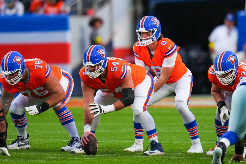
Broncos confident in backup QB Jarrett Stidham driving the ‘Stiddy Bus’ vs. Patriots
Chris Tomasson
chris.tomasson@gazette.com
Updated 5 hours ago
Jarrett Stidham now can get behind the wheel of the “Stiddy Bus.” In 2020, after Tom Brady bolted as a free agent to Tampa Bay, Stidham was considered the favorite by many to become New England’s starting quarterback. Scott Zolak,...
Chris Tomasson
Reporter

Metro Moves: BMC Investments hires new partner and CIO
Bernadette Berdychowski
bernadette.berdychowski@denvergazette.com
Updated 10 hours ago
Welcome to the Denver Gazette’s Metro Moves. You’ll get the latest metro Denver openings, closings, hiring and promotion news here. To submit your company’s news, drop an email to bernadette.berdychowski@denvergazette.com. BMC INVESTMENTS NAMES A NEW PARTNER After a national search, Denver-based...
Bernadette Berdychowski
Reporter
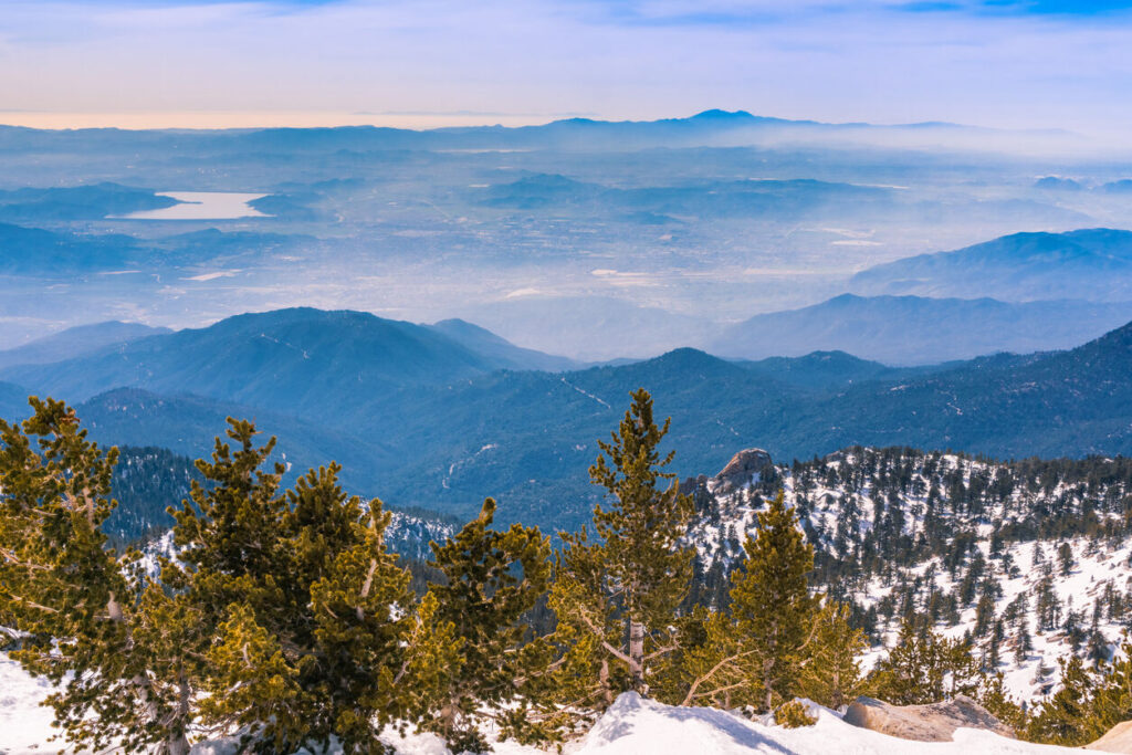
Hiker died after setting out to find missing group in California
Spencer McKee
spencer@outtherecolorado.com
Updated 10 hours ago
A tragic situation unfolded in rugged terrain of Southern California over the weekend, after a hiker died while searching for friends who had gotten lost on the trail. According to a report from the Riverside County Sheriff’s Office, the situation...
Spencer McKee
Reporter

Woman stabbed at Union Station
Dennis Huspeni
dennis.huspeni@gazette.com
Updated 11 hours ago
A woman was hospitalized, and another is in custody on charges of stabbing her repeatedly, after what appeared to be a random attack at Denver’s Union Station Sunday night. Denver Police Department officers confirmed the attack and the arrest of...
Dennis Huspeni
Reporter

Former Jeffco security guard found guilty of sex assault on a child
Sage Kelley
sage.kelley@denvergazette.com
Updated 10 hours ago
A Jefferson County jury found a former school security guard and pastor guilty of sexual assault on a child by a person in a position of trust. The jury deliberated on Friday after a four-day trial, eventually finding that 68-year-old Rubel...
Sage Kelley
Reporter