




Colorado Springs weather: What’s going on with the geomagnetic storm; More showers possible

After a historic showing of the Aurora Borealis last night, many are wondering if they might be able to see it again tonight. To answer that, we need to answer two questions. First: what’s the weather going to do today and tonight. Second, what’s going to happen geomagnetic storm wise.
Weather-wise, we remain unsettled today as an upper-level low slowly swings to the east through our state. It’s taken the scenic route through the southwestern US, visiting Las Vegas, Nevada, yesterday.
Today, it’s taking a scenic tour of Utah before arriving for a visit in Colorado this evening. This unseasonably strong low will swing waves of energy our way today leading to at least two rounds of showers.
The first will be this morning – in fact, you may wake up to wet ground in the Pueblo area. More moisture arrives in the breakfast period in the Pikes Peak Region, depending on where you are. Showers start in Woodland Park by 8:30 a.m., and in Colorado Springs between 9-11 a.m. Once this batch of rain arrives, it should stick around for at least 45 minutes and most likely more than an hour before pushing off to the northeast.
After that, we’ll have a period of partly cloudy skies before batch 2 rolls in, between 2-4 p.m. this afternoon. These thundershowers will work east through around 7:30 p.m. I don’t expect anything severe with these storms. They will produce some decent lightning, and will produce heavy rainfall rates. A few may produce small snow pellets known as graupel that look like small hail (but are formed differently). Minor roadway ponding is possible with any heavier shower tonight.
Highs today will reach the upper 50s to lower 60s across the Pikes Peak Region. Winds will begin the day with a downslope component to the east, quickly shifting north as a small meso-high pressure system develops over the southeast plains, generating northerly warm flow that persists through the day at 10-15 mph with 25 mph gusts.
We’ll have periodic breaks in the clouds today, particularly around the lunch hour, but plan on a more clouds than sun kind of vibe day overall.
Extended Forecast:
Mother’s Day brings more wet weather. But the big question is – will those showers bring the flowers? The day starts off with clouds. This is the time to get some things done. We keep a low end chance for a shower in the morning with the best chances in the Front Range hills. Then we turn on classic Colorado weather. Daytime heating induced showers and thunderstorms form after noon throughout the high country, and along the eastern plains and Front Range Corridor, winding down after sunset.
Highs each afternoon in Colorado Springs will warm into the 60s, with morning sunshine followed by scattered afternoon showers and thunderstorms.
Then, we’ll have a brief break in the action on Monday with a weak show for a quick isolated mountain showers. Then our next low arrives and shower and storm chances return for the middle of next week.
Get OutThere
Signup today for free and be the first to get notified on new updates.
PREV
PREVIOUS

Denver area events for Saturday
If you have an event taking place in the Denver area, email information to [email protected] at least two weeks in advance. All events are listed in the calendar on space availability. Saturday Spring Horseshoe Market — More than 120 of Colorado’s best makers, artists and more, 10 a.m.-4 p.m., Regis University Campus, Denver; facebook.com/horseshoemarket. Spring […]
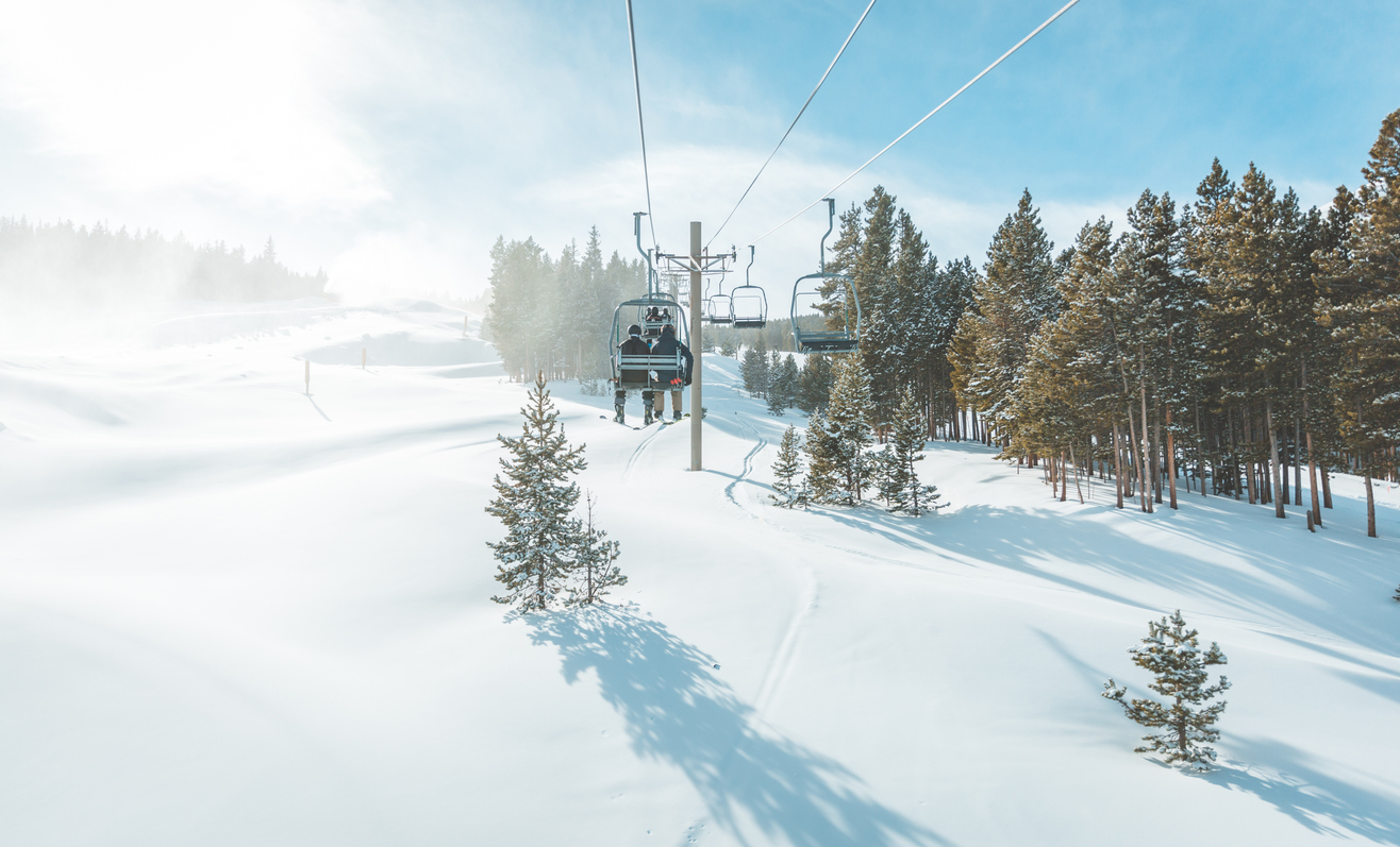
Colorado resort announces sudden end to season
Breckenridge Ski Resort announced that it will close out the ski season on May 12. The early closure comes after several fresh inches of snow earlier this week. In a social media post made on May 9, the resort stated that “the recent snow made for some fun conditions this week, but the spring snowpack changes […]