


Classic Happy Trails: The cool, wild escape of Seven Bridges in Colorado Springs
Gazette photo
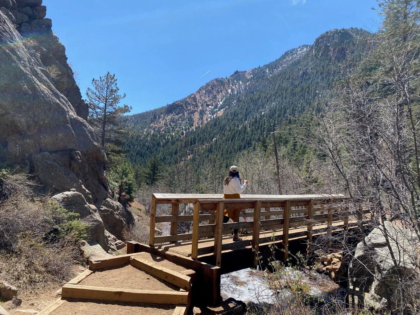
In Colorado Springs, one of the most popular trails around showcases perhaps the city’s finest attribute: its wildness. Between the rocky, forested walls of North Cheyenne Canon, it’s a wonder to think downtown shops, bars and eateries are only a 10-minute drive away. It’s a wonder that might occur to the masses on Seven Bridges Trail.
As summer approaches, locals and tourists will once again converge on the trail touring North Cheyenne Creek over seven wooden bridges. Locals know many other options in the park — the nearby Buckhorn loop, St. Mary’s Falls beyond, the Daniels Pass trail network below, to name a few. Despite the crowds, many still can’t resist Seven Bridges.


Granite outcrops delight along the Seven Bridges Trail in Colorado Springs’ North Cheyenne Canon Park. Gazette photo
During tourist season, they know it’s better to go on a weekday. If a weekend, one should start early or late in the afternoon for a parking spot at North Cheyenne Canon’s top parking lot. If late in the afternoon, you’ll be glad to beat the heat.
The route starts on the lot’s west side, on the wide and gated Gold Camp Road. Before three-quarters of a mile, see the trail sign marked 622 (the earlier sign for North Cheyenne Creek will be your cue). The trail escapes into the cool, creek-fed forest mixed with evergreens and aspen.
At the early set of stairs, hang left at the ‘T’ for more bridges. It’s tempting to count out the seven, but it’s better to lose track amid the melody of the water and humbling views of high, granite outcrops. You might also be distracted managing the fairly quick elevation gain over sometimes-slick rocks.
Going farther past the seventh bridge, out of the shade into a boulder field, views open to the distant city and plains between the canyon.


Seven Bridges Trail follows the creek in Colorado Springs’ North Cheyenne Canon Park. Gazette photo
Trip log: 4 miles out and back, 1,314 feet elevation gain
Getting there: North Cheyenne Canon Park’s main entrance at Starsmore Visitor and Nature Center, 2120 S. Cheyenne Canon Road. Drive about 3 miles to top parking lot.
FYI: Park open 5 a.m.-9 p.m. Nov. 1-April 30; to 10 p.m. May 1-Oct. 31. Hiking-only recommended. Dogs on leash. Icy in winter; wear traction.
SETH BOSTER, THE GAZETTE
Vehicle pass fees to increase at these Colorado state parks in 2026
Noah Festenstein
noah-festenstein@denvergazette.com
Updated 11 hours ago
Colorado Parks and Wildlife officials Wednesday reminded visitors of daily vehicle pass fee increases at select state parks beginning in the new year. Starting Thursday, daily fees are increased by $2 at four northwest Colorado state parks. The fees are...
Noah Festenstein
Reporter
Weekend parking reservations at Colorado’s Arapahoe Basin delayed two more weeks
Jonathan Ingraham
jonathan.ingraham@denvergazette.com
Updated 13 hours ago
The parking reservation system at Arapahoe Basin Ski Area in Summit County, Colorado has been delayed and will now begin on Jan. 17. Reservations were initially planned to start on Jan. 3. “As a ski area, we take pride in being flexible, updating our policies and...
Jonathan Ingraham
Reporter
Snow returns to Colorado for New Year’s Day to the tune of 4-10 inches
Jonathan Ingraham
jonathan.ingraham@denvergazette.com
Updated 19 hours ago
Snow is back in the forecast to start 2026 as a New Year’s Day storm should bring up to 10 inches of snow to the northern half of the state. Three more chances of stormy conditions (Jan. 5, Jan. 7-9...
Jonathan Ingraham
Reporter
Relief at Lee fire in Colorado continues as long-term wildlife habitat reclamation become priority
Jonathan Ingraham
jonathan.ingraham@denvergazette.com
Updated 7 hours ago
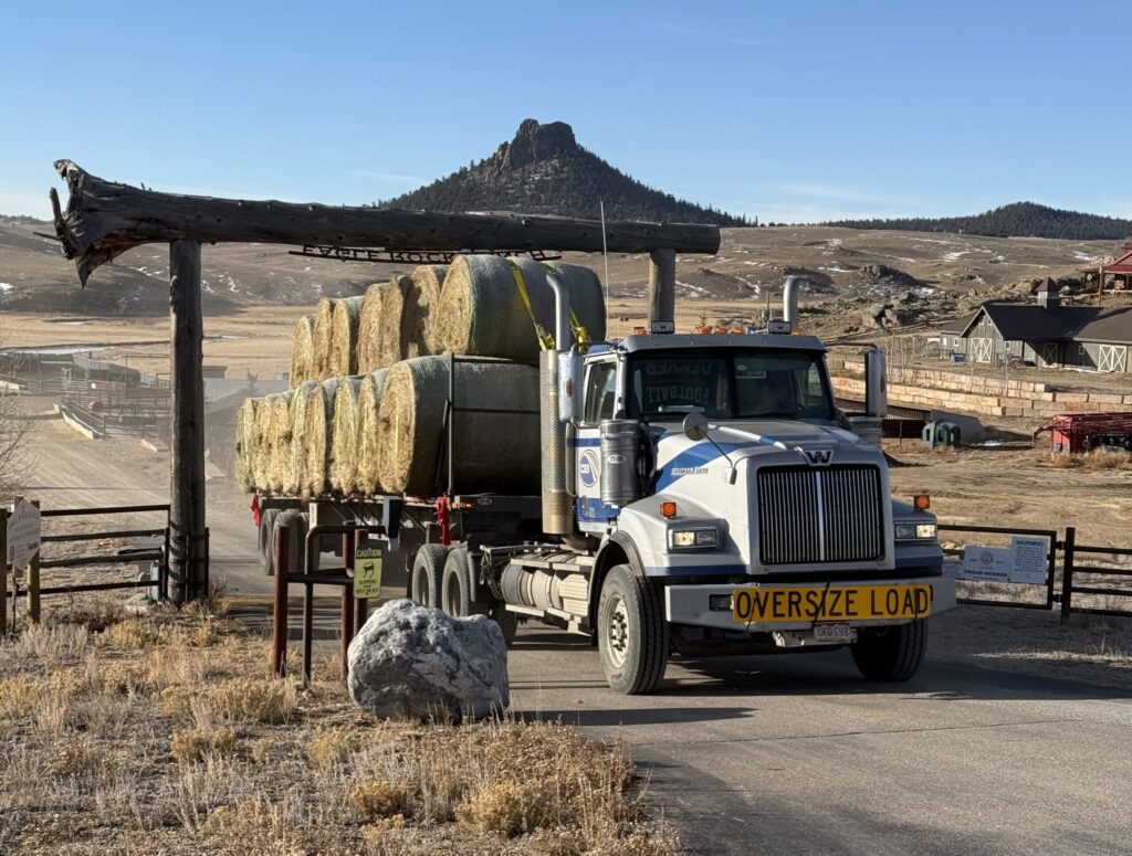
The Lee fire burned more than 137,000 acres of land southwest of Meeker, Colorado this summer. Some of the land charred was prime grazing land ranchers and land-users utilize for livestock feeding and wildlife rely on throughout the year. As...
Jonathan Ingraham
Reporter
Colorado needs 5-6 feet of snow for snowpack average to break even
Jonathan Ingraham
jonathan.ingraham@denvergazette.com
Updated 2 days ago
Busy forecast starts 2026 with 3 storms over 10-day stretch that could add a couple of feet to weak winter start Moderate amounts of snow fell in Colorado’s mountains from a late-December storm over the weekend, especially in the northern...
Jonathan Ingraham
Reporter

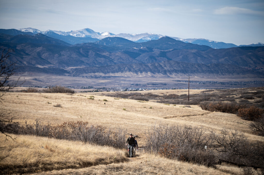
New year for adventure: 10 ways to further appreciate Colorado’s top destinations
Seth Boster
seth-boster@denvergazette.com
Updated 15 hours ago
In 2026, what better way to celebrate Colorado’s 150th birthday than by celebrating its most famous natural treasures? That’s what came to mind when thinking about our bucket list for adventure in the new year. Of course, for those of...
Seth Boster
Reporter
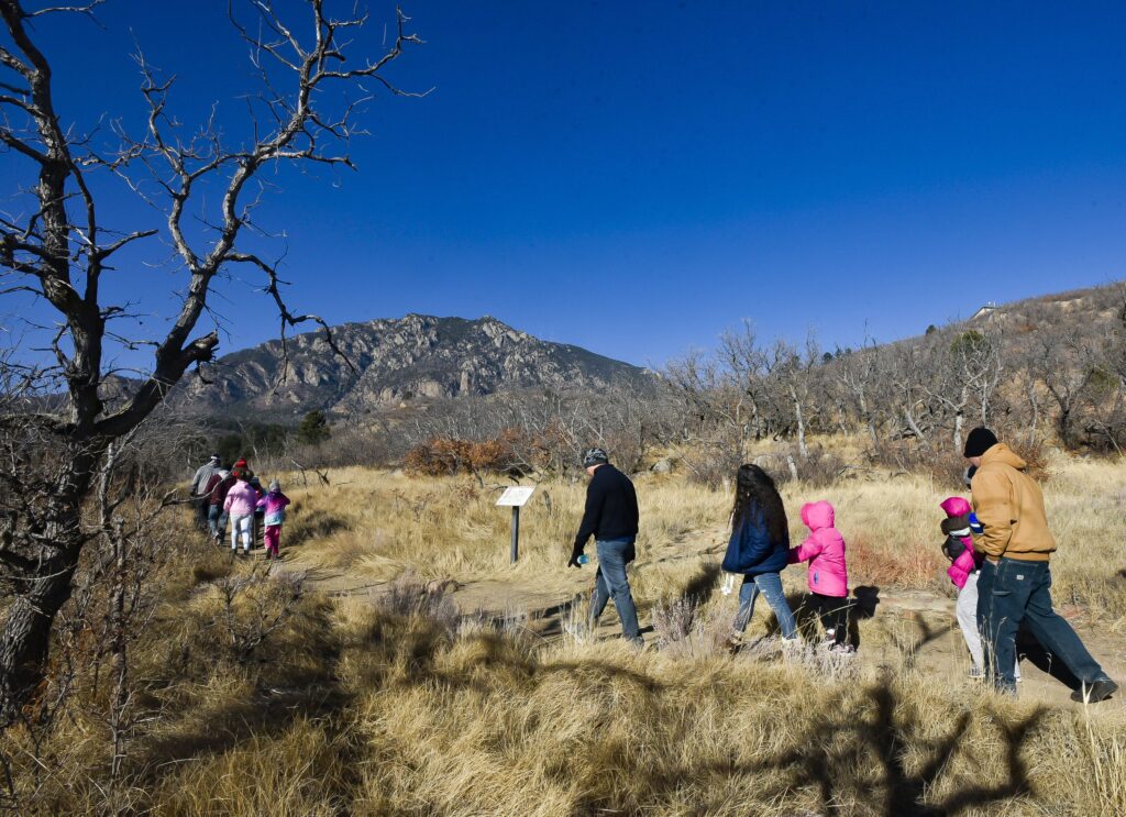
Colorado state parks hosting First Day Hikes to start new year
Seth Boster
seth-boster@denvergazette.com
Updated 3 days ago
For many Coloradans, starting the year off right means starting on a trail. That explains the New Year’s Day tradition called First Day Hikes — a national tradition tracked by America’s State Parks, the organization recognizing the first day of...
Seth Boster
Reporter

Vail’s Mikaela Shiffrin a perfect 5/5 in 2026 World Cup Slalom races with victory in Austria
Associated Press
associated-press@denvergazette.com
Updated 2 days ago
SEMMERING, Austria (AP) — Vail’s Mikaela Shiffrin came from behind to win a World Cup night slalom in tough conditions Sunday and extend her winning streak in the discipline to six races. Shiffrin is a perfect 5 for 5 in...
Associated Press
Reporter
Denver’s warm winter weather brings out ‘fair weather fliers’ among record-setting conditions
Jonathan Ingraham
jonathan.ingraham@denvergazette.com
Updated 5 days ago
“We will be dealing with snow in May, so enjoy it now!” Coloradans associate December with snowy conditions, white Christmases, powder skiing, and cold temperatures. But Denver’s December weather this year has been unseasonably warm, with several new record-high temperature...
Jonathan Ingraham
Reporter
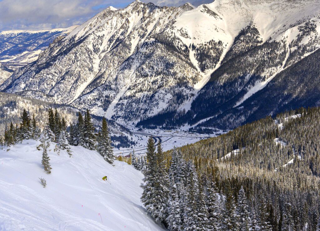
Colorado ski areas suffer, nobody has measured over 70 inches of total snowfall for winter 2025-26
Jonathan Ingraham
jonathan.ingraham@denvergazette.com
Updated 4 days ago
Big changes coming as 10-15 inches of snow possible from incoming weekend storm, second snow event could double figure to start 2026 No Colorado ski area or resort has surpassed 70 inches of reported or estimated total snowfall amounts for...
Jonathan Ingraham
Reporter