


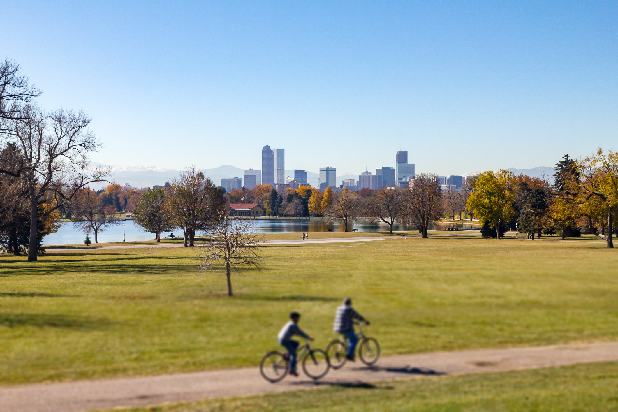
Denver weather: Last day of above-average temperatures before big shift occurs
One more day of above-average temperatures around Denver on Wednesday before an approaching cut-off low will push much needed moisture into the state.
Temperatures will drop 15 to 30 degrees as well beginning Friday, lasting through the weekend.
Denver residents can expect sunny skies today, with a high near 79, according to the National Weather Service in Boulder. South winds will blow between 3 to 8 mph.
“It will be a windy day across the eastern plains with wind gusts up to 30-40 mph,” the NWS said. “Although relative humidities will not meet red flag warning criteria, elevated fire weather conditions are possible this afternoon mainly across the Palmer Divide.”
Widely scattered showers lacking rainfall are possible this afternoon for areas above 8,000 feet.
Tonight we’ll see partly cloudy skies, with a low around 51. South southwest winds to blow between 7 to 11 mph, with gusts as high as 18 mph.
Here’s the 4-day forecast from National Weather Service.
Thursday: Increasing clouds, with a high near 73. South southwest wind 10 to 13 mph, with gusts as high as 26 mph.
Friday: A 40% chance of rain, mainly after noon. Mostly cloudy, with a high near 65. South southwest wind 8 to 14 mph becoming east in the afternoon. Winds could gust as high as 29 mph.
Saturday: Rain likely, mainly before noon. Mostly cloudy, with a high near 51. Chance of precipitation is 70%.
Sunday: A chance of rain. Partly sunny, with a high near 63.