Denver weather: Friday’s high near 50 wanes back to snow and cold on Saturday

Continued warming Friday around Denver will help melt more snow initially, however, snow is also forecast to fall tonight through Saturday.
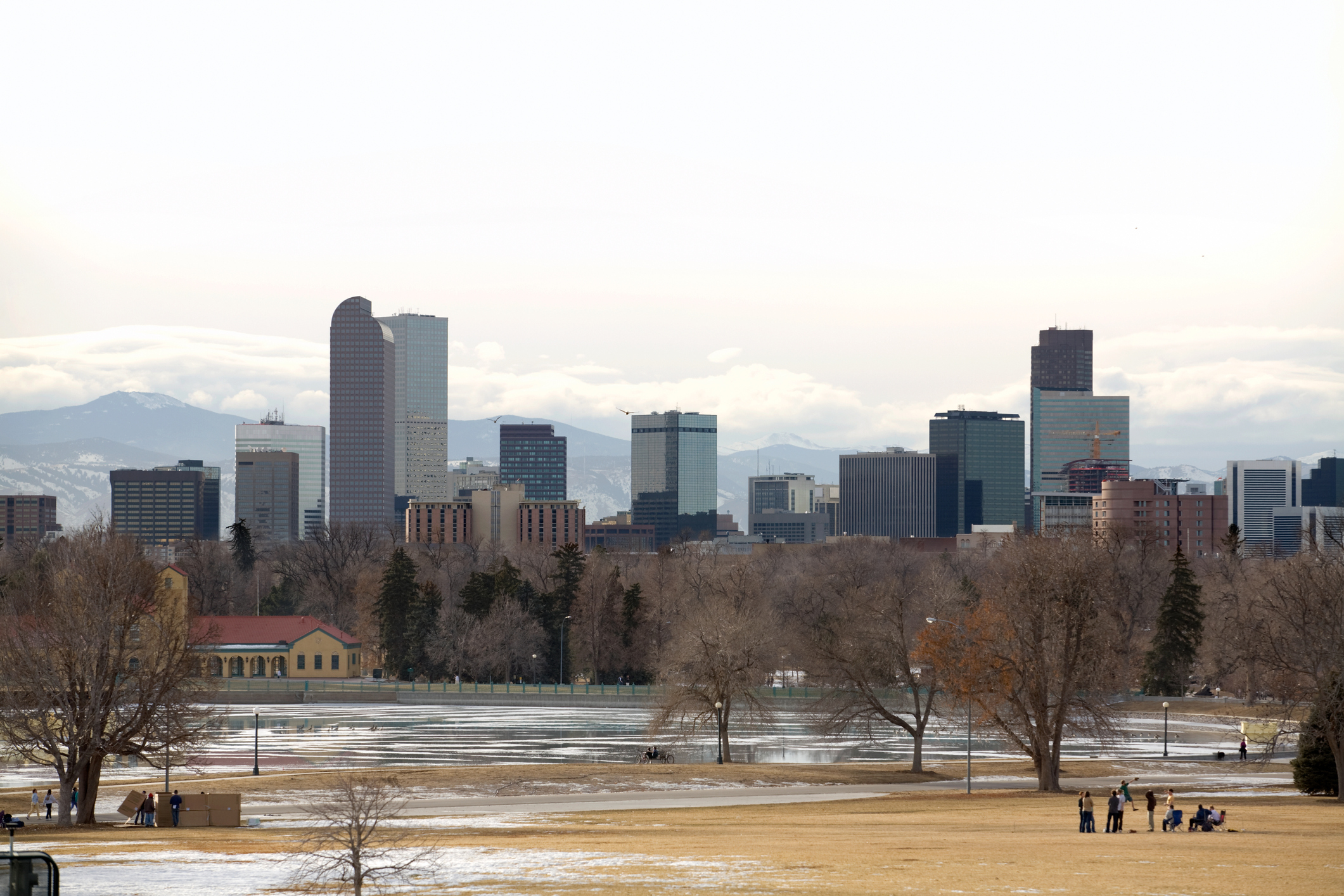
Denver residents can expect mostly sunny skies today, with a high near 45, according to the National Weather Service in Boulder. South winds to blow 6 to 9 mph become north in the afternoon. Winds could gust as high as 15 mph.
“Windy conditions will continue this morning where peak wind gusts around 60 mph can be expected in some wind prone locations, including the Peak to Peak Highway, foothills of Boulder County and along Highway 93 between Boulder and Golden,” the NWS said.
“Snow will begin in the northern mountains this afternoon before pushing east onto the lower elevations late tonight. Slick travel conditions can be expected in the northern mountains overnight.”
Tonight snow is likely around the city, mainly after 11 p.m. Expect mostly cloudy skies, with a low around 15. Northeast winds to blow around 6 mph. Chance of precipitation is 70%, but new snow accumulation of only around an inch is possible.
Light snow will continue to fall Saturday as will the temperatures, however, temperatures and conditions will rebound back to seasonal and sunny to start next week.
Here’s the 4-day forecast from the National Weather Service.
Saturday: Snow. High near 23. Northeast wind 6 to 8 mph. Chance of precipitation is 80%. New snow accumulation of 1 to 2 inches possible.
Sunday: Mostly sunny, with a high near 30. Light and variable wind.
Monday: Sunny, with a high near 45.
Tuesday: Sunny, with a high near 45.