


Widespread snow expected in Colorado this weekend amid sub-zero temps
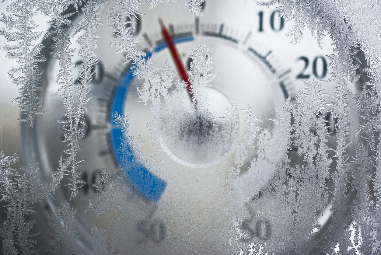
It’s expected that big snow will be accompanied by frigid temperatures in Colorado over the next few days as an arctic air mass moves through the state.
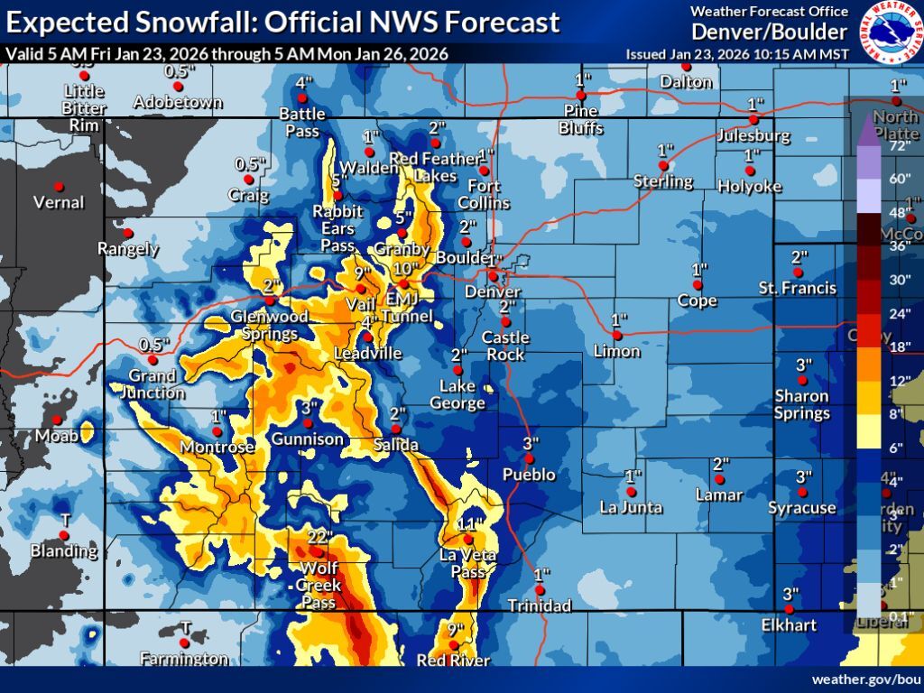
According to the National Weather Service, widespread totals of about 8 to 18 inches of snow are possible in higher elevation terrain through Monday morning. Most of that snow was expected to fall on Friday and Saturday. Travel disruptions are likely, with parts of I-70 expected to get 10 to 14 inches of snow. High-elevation mountain passes are also likely to be problematic, resulting in slower travel at a minimum.
While Colorado’s mountainous terrain is expected to get hit by snow pretty hard, the I-25 corridor should be mostly missed. Denver could get up to two inches of snow while parts of the metro area that are closer to the foothills could get a little more than that – Boulder could get 5 inches, for example.
The main risk for the many Coloradans who live along the I-25 corridor will be an extended stretch of frigid temperatures. Per the National Weather Service, Denver temperatures should hit the single digits multiple times throughout the weekend, dropping to a low of -5 degrees during the early-morning hours of Saturday. The Eastern Plains region will also be particularly cold – Limon was expected to hit -21 degrees late on Friday night with Sterling expected to hit -19. Meanwhile, mountain towns should be frigid, too – Breckenridge will like hit -16 early on Sunday, with Kremmling expected to hit -12.
With the state at about 56 percent of the typical snowpack for January 23, skiers and snowboarders are likely ecstatic about the forecast. That said, hunting down a powder day this weekend will come with some risk due to the winter storm that’s underway. Proceed with caution.
Find additional forecasting information on the National Weather Service website.