


Denver weather: A little bit of everything as precipitation forecasted to break the heat
Moisture is finally on the forecast for Colorado to slightly relieve the ongoing heat and drought conditions.
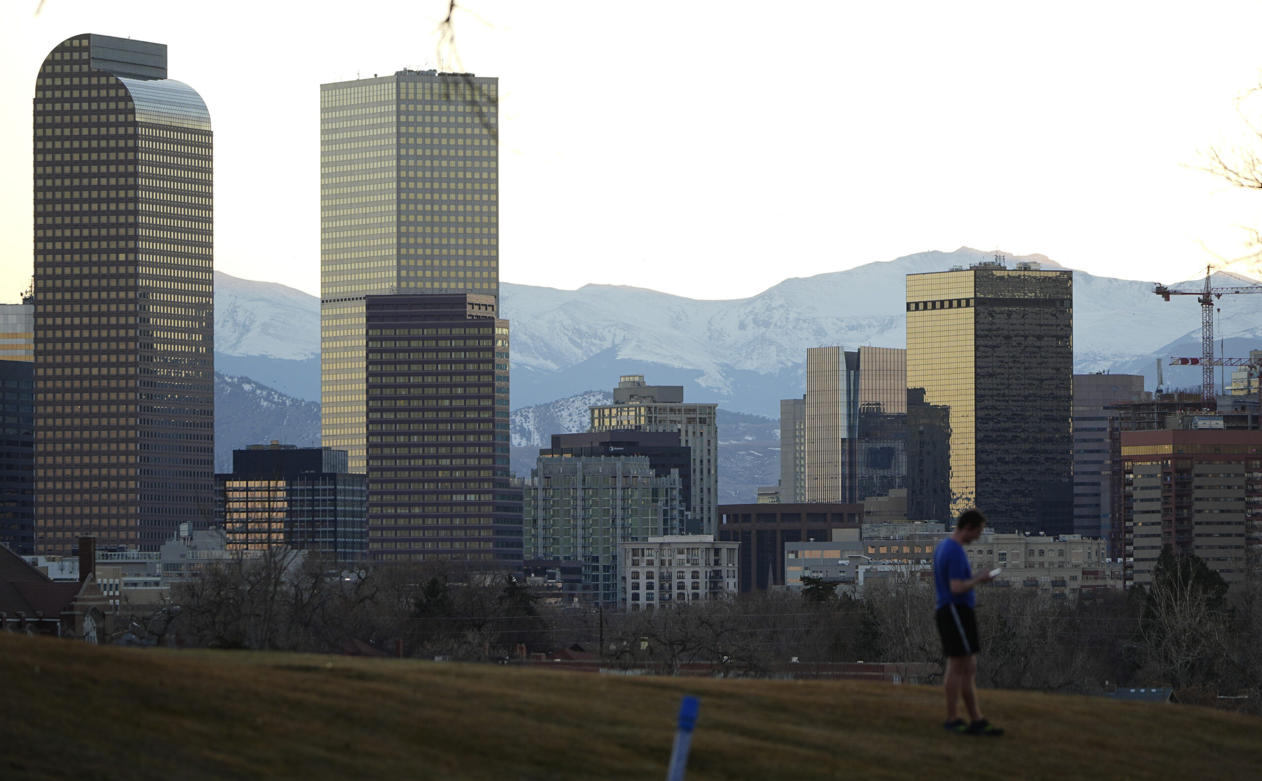
The National Weather Service in Boulder said to expect sunny skies in the morning and early afternoon, with a high of 85 degrees in Denver on Thursday. Then, a 20 percent chance of rain showers after 3 p.m.
In typical Colorado spring fashion, the Denver area will near yet another record-setting temperature on Thursday before a chance of snowfall that very night.
The current temperature record for March 26, set in 1971, is 84 degrees.
“Still warm for many, but a mid-afternoon cold front will bring a sharp burst of gusty winds and cooler conditions, and may trigger isolated and weak showers and thunderstorms,” the weather service said. “Rain/snow showers expand tonight across urban corridor and foothills.”
Residents should expect a sudden and drastic change in temperature in the evening, to go along with the potential precipitation.
Tonight, scattered rain and snow showers will spread into the urban corridor and foothills, with some snow potentially mixing in across the lower elevations early Friday. A few tenths of an inch of liquid precipitation may accumulate locally. Lows will fall into the 30's. #COwx https://t.co/xZ9j1hdOOO pic.twitter.com/g3xmd2x7Lg
— NWS Boulder (@NWSBoulder) March 26, 2026
The cold front will continue to blow in throughout the night, making temperatures as low as 38 degrees—a stark 47-degree difference in less than 20 hours.
Forecasters predict a 60% chance of precipitation, described as “wintry mix/snow” along the I-25 corridor, mainly between midnight and 3 a.m. Friday.