


Denver weather: City sees near-record lows in arctic blast Thursday
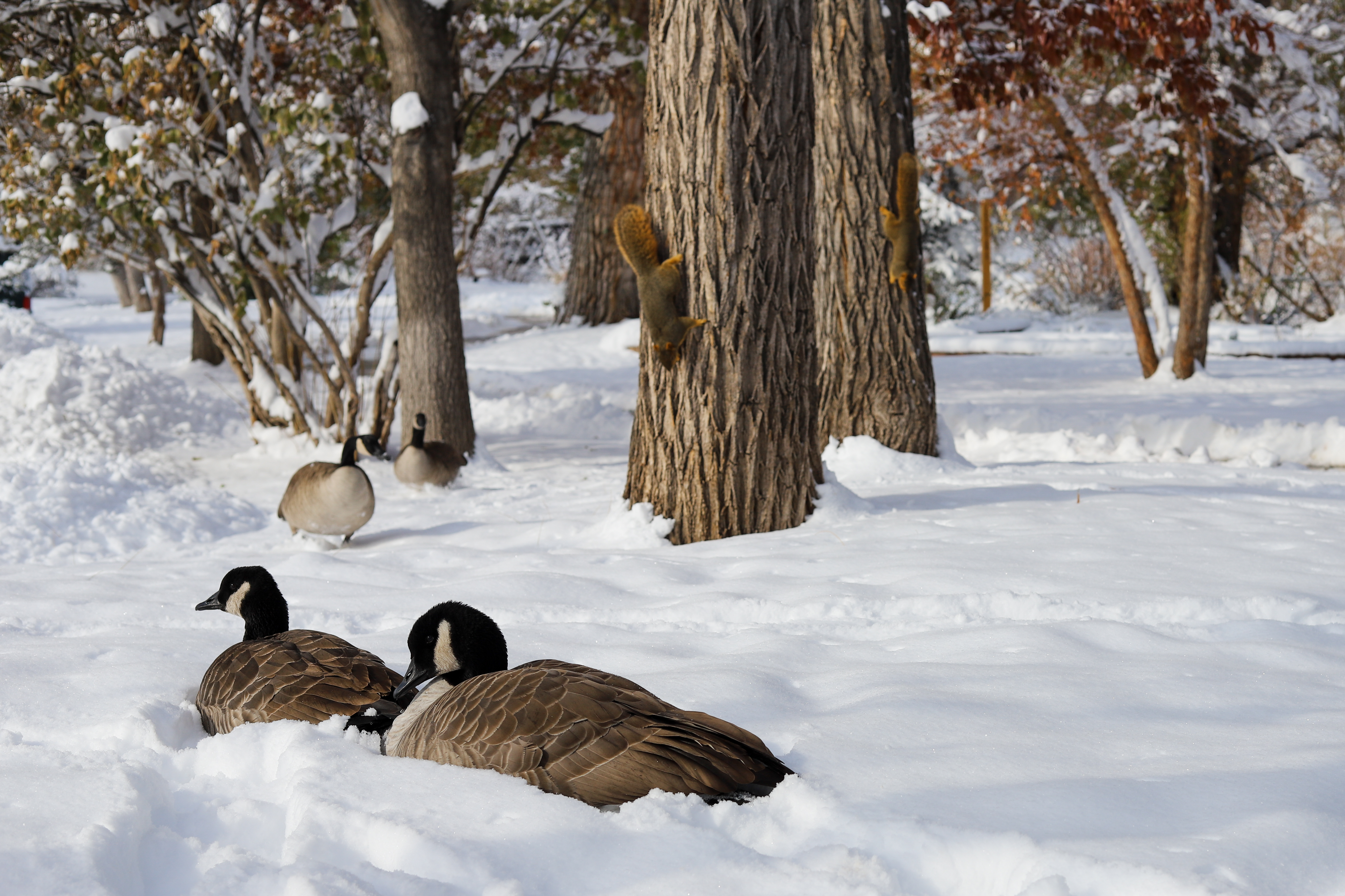
A wind chill warning remains in effect for the Denver area as temperatures could struggle to top 0 degrees Thursday, according to the National Weather Service in Boulder.
The warning has been issued for most of Colorado from 8 p.m. Wednesday to 11 a.m. Friday. Wind chill values have plunged to between -25 and -35 in the Denver metro area and “life-threatening” values up to -50 have been recorded across the eastern plains Thursday morning.
What the weather service is calling “one of the worst cold snaps in 30 years” could bring a high near 1 Thursday. Hypothermia or frostbite are possible on exposed skin within a matter of minutes in that kind of cold. The weather service discourages driving unless necessary, and several layers of warm clothing, boots, hats and mittens should be worn if venturing outside.
According to the NWS, the all-time low for Denver is 29 degrees below 0, set in 1875. The last time Denver was this cold was exactly 32 years ago on Dec. 22, 1990 when temps hit a low of -25.
Friday could see a slight warm-up to a high near 17 but with wind chill values still hovering as low as 20 degrees below zero.
Here is the full forecast from the National Weather Service.
Today: Mostly cloudy, then gradually becoming sunny and cold, with a high near 1. Wind chill values as low as -25. East northeast wind 6-8 mph.
Friday: Sunny, with a high near 17. Wind chill values as low as -20. North northwest wind 5-7 mph becoming east northeast in the afternoon.
Saturday: Mostly sunny, with a high near 47. Southwest wind 6-9 mph becoming northwest in the afternoon.
Christmas Day: Mostly sunny, with a high near 52.

Denver weather: City sees near-record lows in arctic blast Thursday
A wind chill warning remains in effect for the Denver area as temperatures could struggle to top 0 degrees Thursday, according to the National Weather Service in Boulder.
The warning has been issued for most of Colorado from 8 p.m. Wednesday to 11 a.m. Friday. Wind chill values have plunged to between -25 and -35 in the Denver metro area and “life-threatening” values up to -50 have been recorded across the eastern plains Thursday morning.
What the weather service is calling “one of the worst cold snaps in 30 years” could bring a high near 1 Thursday. Hypothermia or frostbite are possible on exposed skin within a matter of minutes in that kind of cold. The weather service discourages driving unless necessary, and several layers of warm clothing, boots, hats and mittens should be worn if venturing outside.
According to the NWS, the all-time low for Denver is 29 degrees below 0, set in 1875. The last time Denver was this cold was exactly 32 years ago on Dec. 22, 1990 when temps hit a low of -25.
Friday could see a slight warm-up to a high near 17 but with wind chill values still hovering as low as 20 degrees below zero.
Here is the full forecast from the National Weather Service.
Today: Mostly cloudy, then gradually becoming sunny and cold, with a high near 1. Wind chill values as low as -25. East northeast wind 6-8 mph.
Friday: Sunny, with a high near 17. Wind chill values as low as -20. North northwest wind 5-7 mph becoming east northeast in the afternoon.
Saturday: Mostly sunny, with a high near 47. Southwest wind 6-9 mph becoming northwest in the afternoon.
Christmas Day: Mostly sunny, with a high near 52.