


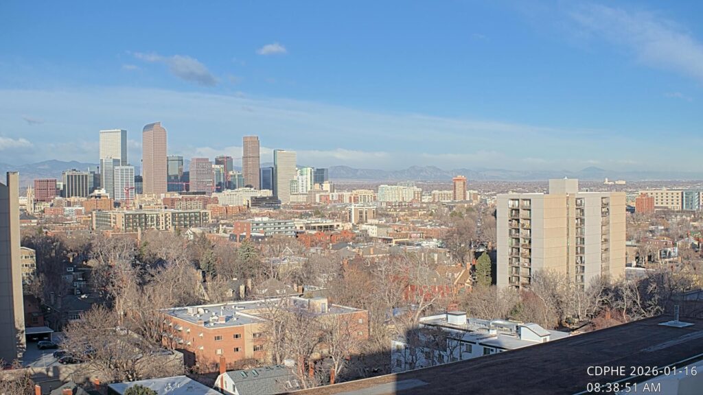
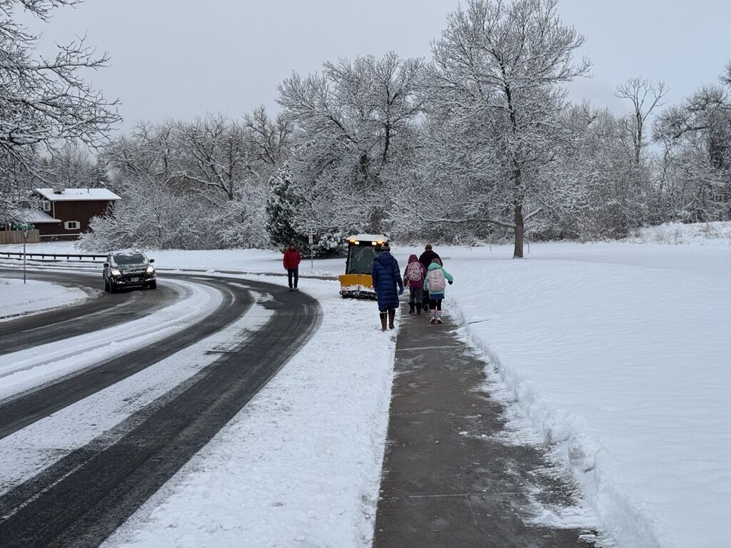
Denver weather: Wet, heavy snow hits Front Range, high in the 40s

Joe Mahoney/Denver Gazette
Wet, heavy snow has begun to hit the Front Range on Saturday morning. Meanwhile, travel in the mountains will become difficult, according to the National Weather Service based in Boulder.
The NWS said the storm is “delivering as anticipated.”
“Rain and snow along the Front Range will be persistent and also heaviest this morning,” the weather service said, adding that, in the upper foothills, 2 to 3 inches of snow per hour is expected for up to five hours straight.
Temperatures are expected to remain low throughout the day, with a high of 40 degrees and a low of 36 degrees.
Winds are expected to range from 8-14 mph with some gusts reaching up to 22 mph.
Here’s an extended look at the forecast from the National Weather Service:
Sunday: A slight chance of showers, then a chance of showers and thunderstorms after noon. Partly sunny, with a high near 58. Chance of precipitation is 30%.
Monday: Sunny, with a high near 66. South southwest wind 7 to 11 mph, with gusts as high as 18 mph.
Tuesday: Sunny, with a high near 72.
Wednesday: A chance of showers and thunderstorms after noon. Mostly sunny, with a high near 68.
Thursday: A chance of showers and thunderstorms. Partly sunny, with a high near 57.
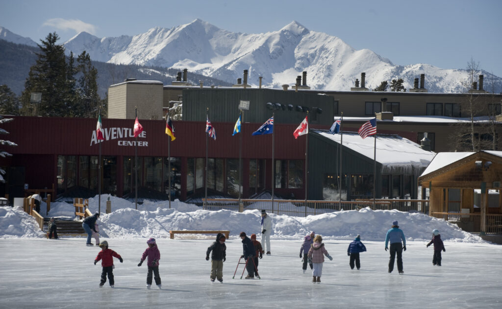
Colorado pond hockey tournament canceled due to thin ice
Daniel Boniface
dan.boniface@denvergazette.com
Updated 2 days ago
Unseasonably warm conditions in Colorado’s high country this winter forced organizers this week to cancel an annual pond hockey tournament at Keystone Lake. “We are beyond sad to announce that the 2026 – 9280 Pond Hockey Tournament has officially been...
Daniel Boniface
Reporter
Denver weather: Red Flag Warning due to high winds, dry conditions
Daniel Boniface
dan.boniface@denvergazette.com
Updated 2 days ago
High winds and dry conditions have meteorologists concerned about fire danger in Denver and its surrounding areas on Friday. The National Weather Service in Boulder issued a Red Flag Warning for Denver on Friday, that also stretches across the Northeast...
Daniel Boniface
Reporter
Xcel cuts power in northern Colorado due to wildfire risk
Daniel Boniface
dan.boniface@denvergazette.com
Updated 2 days ago
Xcel Energy shut off power in parts of northern Colorado on Friday due to high winds and dry conditions, the company said Thursday. The shutoff began at 8 a.m. and impacts people near Fort Collins and Loveland, along the Interstate...
Daniel Boniface
Reporter
Xcel Energy considers planned outages in northern Colorado due to wildfire risk
Daniel Boniface
dan.boniface@denvergazette.com
Updated 3 days ago
Sunny skies and mild temperatures are on tap Thursday for Denver, but breezy winds and low relative humidity have meteorologists concerned about fire danger in Larimer and Weld counties and Colorado’s Eastern Plains. The National Weather Service in Boulder has...
Daniel Boniface
Reporter
Denver weather: Sunny and mild on Wednesday
Daniel Boniface
dan.boniface@denvergazette.com
Updated 3 days ago
It’s another day of sunny skies and mild temperatures in Denver on Wednesday, meteorologists said. The National Weather Service in Boulder said to expect a high temperature of 55 degrees in Denver on Wednesday. That’s about 11 degrees warmer than...
Daniel Boniface
Reporter
Denver weather: Another sunny day in the 60s
Daniel Boniface
dan.boniface@denvergazette.com
Updated 5 days ago
Another unseasonably warm day is on tap Tuesday in Denver, weather forecasters predict. The National Weather Service in Boulder said to expect a high temperature of 62 degrees in Denver on Tuesday. That’s about 18 degrees warmer than the average...
Daniel Boniface
Reporter

Denver weather: Sun, unseasonably warm temperatures return
Daniel Boniface
dan.boniface@denvergazette.com
Updated 6 days ago
Sunny skies and unseasonably warm temperatures return this week to Denver, weather forecasters predict. Meteorologists with the National Weather Service in Boulder said to expect a high near 58 degrees in Denver on Monday. That’s about 14 degrees warmer than...
Daniel Boniface
Reporter
Colorado snow totals for Jan. 8-9, 2026 storm
Daniel Boniface
dan.boniface@denvergazette.com
Updated 1 week ago
The following Colorado snow totals have been reported across the state by the National Weather Service for the Jan. 8-9, 2026 storm as of 11 a.m. Alamosa — 6 inchesArvada — 5.3 inchesAurora — 1.5 inchesBailey — 6 inchesBerthoud —...
Daniel Boniface
Reporter
Denver weather: Snow tails off Friday, but morning commute could be slick
Daniel Boniface
dan.boniface@denvergazette.com
Updated 1 week ago
The waves of snow that fell across Denver Thursday were expected to diminish Friday morning, but the roads could be slick for commuters, a weather forecaster said. The National Weather Service in Boulder said to expect a 40% chance of...
Daniel Boniface
Reporter

Denver weather: Snow could impact Thursday evening commute
Daniel Boniface
dan.boniface@denvergazette.com
Updated 1 week ago
Denver weather forecasters are calling for waves of snow across the metro area on Thursday which they say could lead to a sloppy evening commute. Meteorologists with the National Weather Service in Boulder said to expect snow to fall “mainly...
Daniel Boniface
Reporter
PREV
PREVIOUS

Denver weather: Thunderstorms Friday, prolonged rain all day Saturday
Facebook Twitter WhatsApp SMS Email Print Copy article link Save Denver residents can expect a chance of showers and thunderstorms Friday, then showers and possibly a thunderstorm after 4 p.m., according to the National Weather Service in Boulder. Expect highs near 68 with southwest winds between 8 to 13 mph becoming northeast in the afternoon. […]

Denver Weather forecast: Morning sun, afternoon showers, and a glimpse of warmer days
Facebook Twitter WhatsApp SMS Email Print Copy article link Save DENVER — THE FORECAST BY: Meteorologist Chris Bianchi FORECAST AT A GLANCE: A gloomy start to our Sunday should give way to at least a bit of sunshine later this morning in the Denver area before more showers and storms this afternoon, though these won’t […]