







FORECAST: Scattered storms expected around Colorado throughout week
Minerva Studio
Colorado will be hot and dry on Monday with scattered showers and storms possible in the mountains each day through Sunday.
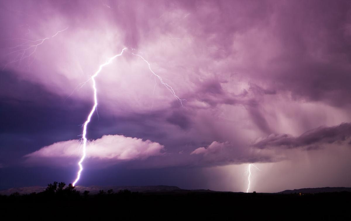
Isolated rain showers and thunderstorms will be possible over the mountains Monday afternoon, especially over higher terrain along the Continental Divide. Possible hazards include torrential rain, cloud-to-ground lightning, and 50 mph wind gusts, according to the National Weather Service.
Temperatures will be hot and humid, climbing slightly above the seasonal average for most locations. Highs for Monday are expected to range in the mid-80s to upper 90s.
Continued warm temperatures to today, with high temperatures being slightly above the seasonal average for most locations. Drier air in place with only a few thunderstorms to develop during the afternoon, mainly over the mountains. #cowx #colorado pic.twitter.com/MeqqQFvhQ1
— NWS Pueblo (@NWSPueblo) July 19, 2021
Storms are expected to continue to develop over the central mountains on Tuesday before spreading into the eastern mountains, I-25 corridor, and adjacent plains.
This stormy pattern will likely continue through Sunday, with hazy conditions expected as wildfire smoke drifts across parts of the state.
Heavy rainfall could result in flash flooding across burn scars and other vulnerable areas, which is typical during the monsoon season.
Editor’s Note: Weather statements are subject to rapid change, making it important to stay up-to-date with current alerts. Find more information on the National Weather Service website.