


Red Flag Warning issued for Denver on Tuesday due to critical fire danger
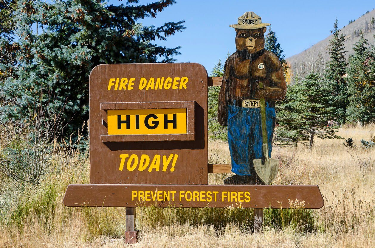
Fire danger is high in Denver on Tuesday, as temperatures are expected to climb well above the normal high for this time of year.
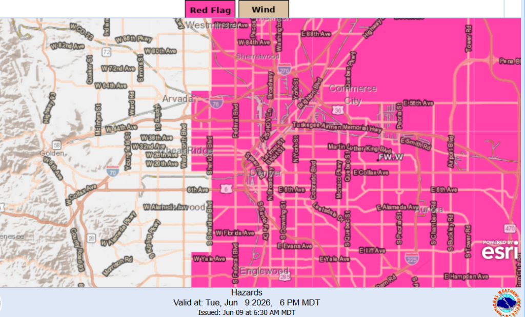
The National Weather Service in Boulder has issued a Red Flag Warning in Denver beginning at noon and running through 9 p.m. Tuesday for basically everywhere east of about Sheridan Boulevard.
“Conditions will be favorable for rapid fire spread in areas that did not receive significant rainfall on Monday,” the weather service said. “Avoid outdoor burning and any activity that may produce a spark and start a wildfire.”
Meteorologists said the high in Denver is expected to reach 93 degrees Tuesday. That’s about 12 degrees hotter than the normal high for June 9 in Denver, according to weather service archive data, and just 2 degrees off the all-time record last reached in 2018.
Breezy winds out of the south southwest are expected at about 9 to 14 mph, increasing in the afternoon to 19 to 24 mph with gusts up to 34 mph, the weather service said.
With the heat and winds, plus the “relative low humidity” — as low as 10% — meteorologists warned it’s a recipe for a fast-moving wildfire.
Tuesday’s high temperatures are also expected to have moderate impacts for people in Denver who are sensitive to heat, especially if they don’t have access to adequate cooling or hydration. Some health systems and industries could see moderate impacts too, the weather service said.
There is a slight risk that thunderstorms could develop across Denver and the Eastern Plains on Tuesday, as well, the weather service said. Isolated stronger storms are more likely along and east of the Sterling-Akron line this afternoon, the weather service said.
Tonight, expect partly cloudy skies with temperatures cooling off to about 57 degrees. Breezy winds are expected to continue into the evening with gusts up to 30 mph overnight.
Wednesday is expected to see a high of 90 degrees, with a Fire Weather Watch in effect for Denver.