


Tag: satellite imagery
-
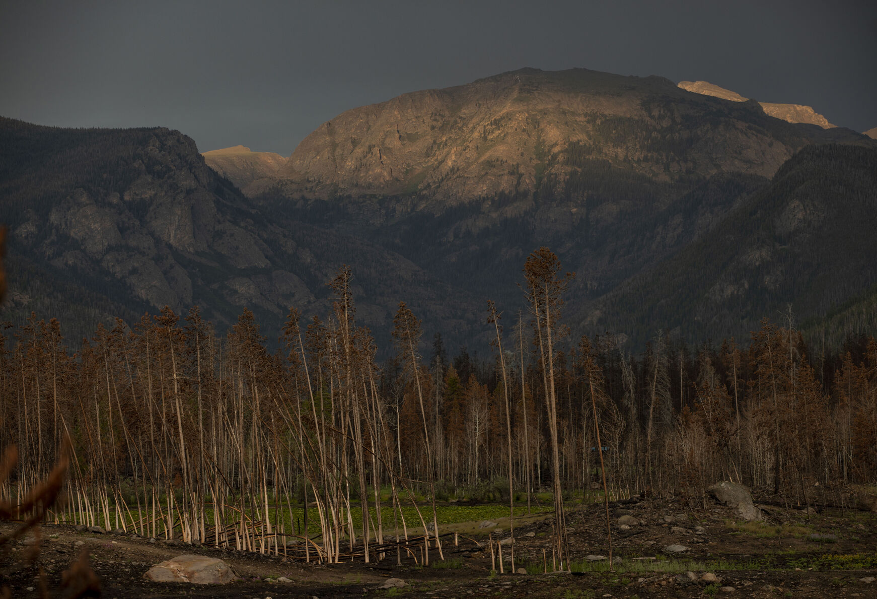
Colorado scientists use AI for improved wildfire forecasts
A new technique developed by the National Center for Atmospheric Research (NCAR) uses artificial intelligence to efficiently update the vegetation maps used by wildfire computer models to more accurately predict fire behavior and spread. “One of our main challenges in wildfire modeling has been to get accurate input, including fuel data,” NCAR scientist and lead…
-
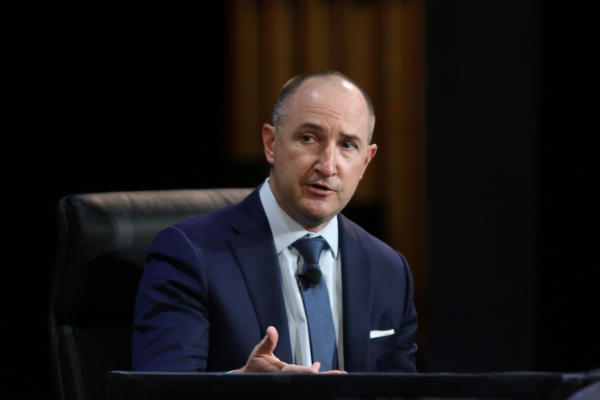
Witnessing war from orbit: a conversation with the CEO of Colorado-based Maxar Technologies
Westminster-based satellite imagery company Maxar Technologies has made national news lately as its images from Russia’s invasion of Ukraine show the conflict playing out up close and personal. Maxar CEO Daniel Jablonsky fielded questions Thursday from Politico reporter Bryan Bender at the 37th Space Symposium in Colorado Springs. “It’s a very diverse set of tragic…